Summary
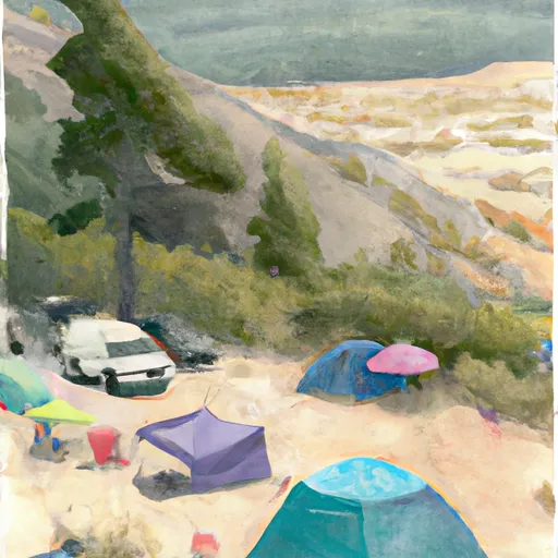
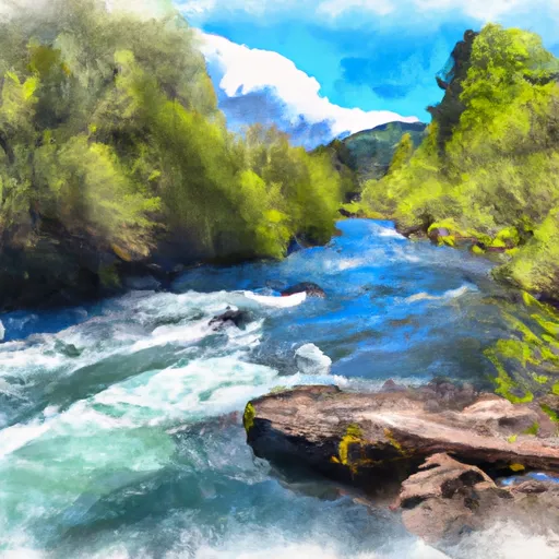
The area is known for its beautiful views of the surrounding landscape, including nearby mountains and the Donner Und Blitzen River.
There are several points of interest near the campground, including the Diamond Craters Outstanding Natural Area, the Malheur National Wildlife Refuge, and the Steens Mountain Wilderness Area. Visitors can also enjoy hiking, fishing, and wildlife viewing in the area.
The campground itself offers basic amenities, including fire rings and picnic tables, but visitors should come prepared with all necessary supplies, including water and firewood.
Interesting facts about the area include the fact that it was once home to the Native American Paiute tribe, and that it is now a popular destination for bird watchers, as it is home to several species of migratory birds.
The best time of year to visit the Br2 User Created Campsite is during the summer months, when temperatures average in the high 70s to low 80s Fahrenheit. However, visitors should be prepared for sudden changes in weather, as temperatures can drop quickly at night.
Overall, the Br2 User Created Campsite is a great destination for those looking to experience the natural beauty of Oregon without the crowds and fees of more developed campgrounds.
°F
°F
mph
Wind
%
Humidity
15-Day Weather Outlook
Nearby Campgrounds
| Location | Reservations |
|---|---|
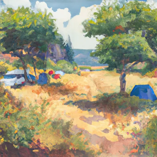 BR2-User Created
|
|
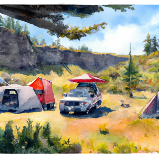 BR3-User Created
|
|
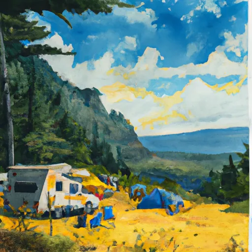 BR4A-User Created
|
|
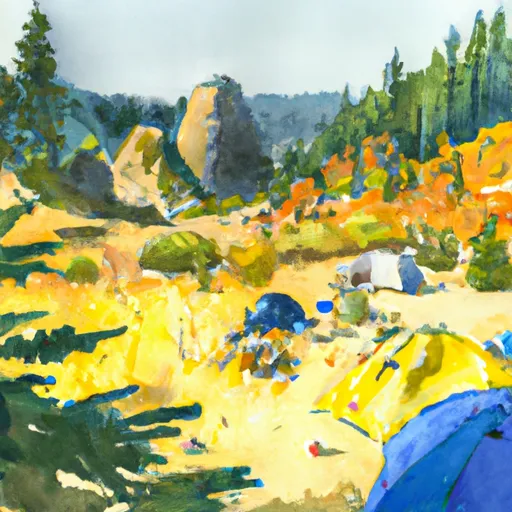 BR1-User Created
|
|
 BR4-User Created
|
|
 BR5A-User Created
|
5-Day Hourly Forecast Detail
Nearby Streamflow Levels
Camping Essential Practices
Take all trash, food scraps, and gear back with you to keep campsites clean and protect wildlife.
Respect Wildlife
Observe animals from a distance, store food securely, and never feed wildlife to maintain natural behavior and safety.
Know Before You Go
Check weather, fire restrictions, trail conditions, and permit requirements to ensure a safe and well-planned trip.
Minimize Campfire Impact
Use established fire rings, keep fires small, fully extinguish them, or opt for a camp stove when fires are restricted.
Leave What You Find
Preserve natural and cultural features by avoiding removal of plants, rocks, artifacts, or other elements of the environment.
Related Links
Nearby Snowpack Depths
|
NOHRSC SILVIES
|
0" |
|
SILVIES
|
0" |
|
FISH CREEK
|
0" |
|
FISH CREEK
|
0" |
|
HINES 6.2 WSW
|
0" |
|
ALKALI LAKE
|
0" |

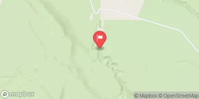
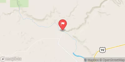
 Mud Creek
 Mccoy Creek