Summary
The campground provides several amenities to enhance visitors' stay, including picnic tables, fire rings, and vault toilets. However, it is important to note that there are no water or electricity hookups available at this campground.
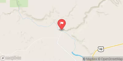
Reservations are not accepted at Pothole Arch camping area, as it operates on a first-come, first-served basis. Therefore, it is recommended to arrive early to secure a campsite, especially during peak camping seasons. The best time of year to visit this camping area is during the summer and early fall months when the weather is pleasant and the campsite is less crowded.
While camping at Pothole Arch, campers can enjoy various activities such as hiking, nature photography, and wildlife observation. The area is known for its stunning natural beauty, including a unique pothole arch formation that serves as a focal point for many visitors. It is advised to be cautious and respectful of the fragile ecosystem in the camping area, avoiding damaging any plants or disturbing wildlife. Additionally, campers should come prepared with enough water and food supplies, as there are no nearby amenities or stores. Overall, Pothole Arch camping area offers a peaceful and nature-filled camping experience for those seeking tranquility in Oregon's great outdoors.
°F
°F
mph
Wind
%
Humidity
15-Day Weather Outlook
Nearby Campgrounds
| Location | Reservations |
|---|---|
 Pothole Arch
|
|
 Pothole
|
|
 Birch Creek Historic Ranch
|
|
 Middle Greeley
|
|
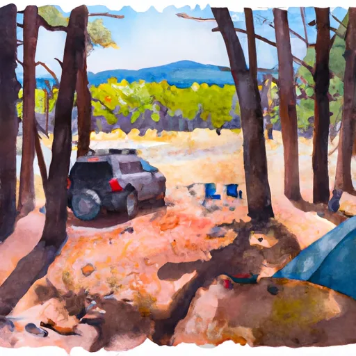 Upper Greeley
|
|
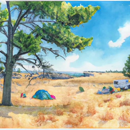 Lower Greeley
|
5-Day Hourly Forecast Detail
Nearby Streamflow Levels
Camping Essential Practices
Take all trash, food scraps, and gear back with you to keep campsites clean and protect wildlife.
Respect Wildlife
Observe animals from a distance, store food securely, and never feed wildlife to maintain natural behavior and safety.
Know Before You Go
Check weather, fire restrictions, trail conditions, and permit requirements to ensure a safe and well-planned trip.
Minimize Campfire Impact
Use established fire rings, keep fires small, fully extinguish them, or opt for a camp stove when fires are restricted.
Leave What You Find
Preserve natural and cultural features by avoiding removal of plants, rocks, artifacts, or other elements of the environment.
Related Links
Nearby Snowpack Depths
|
REYNOLDS CREEK
|
0" |
|
HOMEDALE 4.0 WNW
|
0" |
|
NOHRSC REYNOLDS CREEK
|
1" |
|
HOMEDALE 1 SE
|
0" |
|
SOUTH MTN.
|
0" |
|
SOUTH MTN.
|
0" |

