Summary
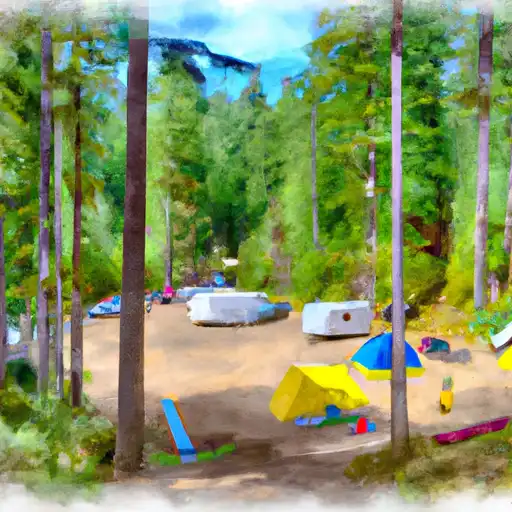
The campground is nestled between two peaks, offering stunning views of the surrounding mountains and valleys. There are several nearby points of interest, including the North Fork of the Malheur River, which is known for its great fishing opportunities. Visitors can also explore the nearby Strawberry Mountain Wilderness, which has several hiking trails and scenic overlooks.
The campground has basic amenities, including vault toilets and potable water. There are 10 campsites available on a first-come-first-serve basis. An interesting fact about the area is that it was named after two miners who discovered gold in the nearby hills in the late 1800s.
The best time to visit the Two Pan camping area is during the summer months, from June to August, when the average temperatures range from the mid-70s to mid-80s Fahrenheit. However, visitors should be prepared for cooler temperatures in the evenings and sudden changes in weather.
Overall, the Two Pan camping area is a serene and secluded destination for camping enthusiasts who want to escape the hustle and bustle of city life and immerse themselves in the beauty of nature.
°F
°F
mph
Wind
%
Humidity
15-Day Weather Outlook
Nearby Campgrounds
| Location | Reservations |
|---|---|
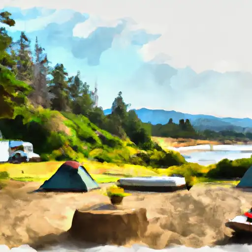 Two Pan
|
|
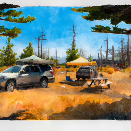 Two Pan Campground
|
|
 Shady
Shady
|
|
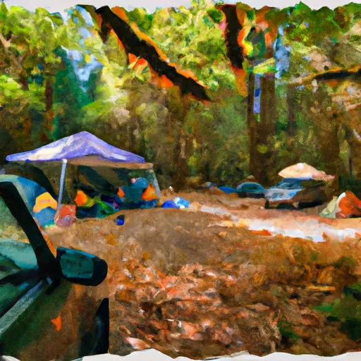 Shady Campground
|
|
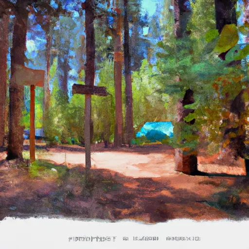 Arrow Forest Camp
|
|
 Turkey Flat Forest Camp
|
5-Day Hourly Forecast Detail
Nearby Streamflow Levels
 Minam River Near Minam
|
224cfs |
 Snake River At Hells Canyon Dam Id-Or State Line
|
19200cfs |
 Imnaha River At Imnaha
|
150cfs |
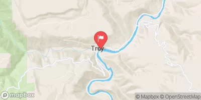 Grande Ronde River At Troy
|
1640cfs |
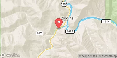 Little Salmon River At Riggins Id
|
364cfs |
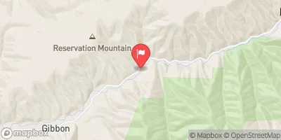 Umatilla River Above Meacham Creek
|
185cfs |
Camping Essential Practices
Take all trash, food scraps, and gear back with you to keep campsites clean and protect wildlife.
Respect Wildlife
Observe animals from a distance, store food securely, and never feed wildlife to maintain natural behavior and safety.
Know Before You Go
Check weather, fire restrictions, trail conditions, and permit requirements to ensure a safe and well-planned trip.
Minimize Campfire Impact
Use established fire rings, keep fires small, fully extinguish them, or opt for a camp stove when fires are restricted.
Leave What You Find
Preserve natural and cultural features by avoiding removal of plants, rocks, artifacts, or other elements of the environment.
Related Links
Nearby Snowpack Depths
|
NOHRSC ANEROID LAKE #2
|
0" |
|
ANEROID LAKE #2
|
0" |
|
JOSEPH
|
0" |
|
NOHRSC MT. HOWARD
|
151" |
|
MT. HOWARD
|
1" |
|
TAYLOR GREEN
|
0" |
