Summary
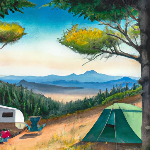
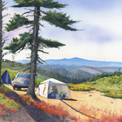
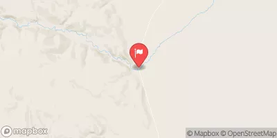
The campsite is situated in a beautiful and remote area, surrounded by stunning views of the Steens Mountain Range and the Alvord Desert. The area is known for its breathtaking sunsets, stargazing opportunities, and unique geological features.
One of the main points of interest near the campsite is the Alvord Desert, which is the largest dry lake bed in Oregon. Visitors can explore the desert's vast expanse, which is home to a variety of wildlife, including pronghorn antelope and coyotes. Another nearby attraction is the Steens Mountain Wilderness Area, which offers hiking trails and opportunities to see wildlife, such as bighorn sheep and mule deer.
As a primitive campsite, there are limited amenities available at Wh4. Visitors must bring their own water, food, and camping gear. There are no toilets or garbage facilities, so visitors must pack out their own trash. However, the lack of amenities makes for a quiet and peaceful camping experience in nature.
The best time to visit Wh4 is from May to October when temperatures are mild, averaging around 60-70 degrees during the day and dropping to 30-40 degrees at night. Winters in the area can be harsh, with snow and freezing temperatures, making camping difficult.
Overall, the Wh4 User Created Campsite is a unique and beautiful camping area with stunning views, nearby points of interest, and a peaceful atmosphere. It is a great choice for those looking for a remote camping experience in nature.
°F
°F
mph
Wind
%
Humidity
15-Day Weather Outlook
Nearby Campgrounds
| Location | Reservations |
|---|---|
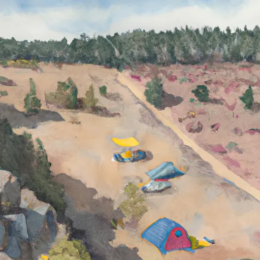 WH4-User Created
|
|
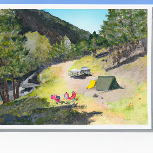 WH3-User Created
|
|
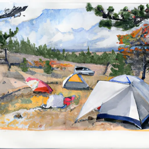 PC1-User Created
|
|
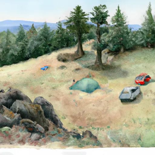 WH2-User Created
|
|
 WH1-User Created
|
|
 AC3-User Created
|
5-Day Hourly Forecast Detail
Nearby Streamflow Levels
Camping Essential Practices
Take all trash, food scraps, and gear back with you to keep campsites clean and protect wildlife.
Respect Wildlife
Observe animals from a distance, store food securely, and never feed wildlife to maintain natural behavior and safety.
Know Before You Go
Check weather, fire restrictions, trail conditions, and permit requirements to ensure a safe and well-planned trip.
Minimize Campfire Impact
Use established fire rings, keep fires small, fully extinguish them, or opt for a camp stove when fires are restricted.
Leave What You Find
Preserve natural and cultural features by avoiding removal of plants, rocks, artifacts, or other elements of the environment.
Related Links
Nearby Snowpack Depths
|
FISH CREEK
|
0" |
|
FISH CREEK
|
0" |
|
NOHRSC SILVIES
|
0" |
|
SILVIES
|
0" |
|
DISASTER PEAK
|
1" |
|
DISASTER PEAK
|
1" |

 Pike Creek
 Big Alvord Creek