Summary
The refuge is home to a diverse range of wildlife, including hundreds of bird species, mammals such as pronghorn antelope and coyotes, and reptiles such as rattlesnakes and lizards.
There are several reasons to visit Malheur National Wildlife Refuge, including birdwatching, hiking, fishing, hunting, and scenic drives. The refuge is a popular destination for birdwatchers, with over 320 species of birds that can be observed throughout the year. Visitors can also hike on over 100 miles of trails, fish in Malheur Lake, hunt for game during designated seasons, and take scenic drives through the refuge.
Some specific points of interest to see in the refuge include the Steens Mountain Wilderness Area, Diamond Craters Outstanding Natural Area, and the historic P Ranch. The Steens Mountain Wilderness Area is a remote and rugged mountain range that is home to a variety of wildlife and offers stunning views. Diamond Craters Outstanding Natural Area is an otherworldly landscape of volcanic features, including cinder cones and lava flows. The historic P Ranch is a well-preserved example of early 20th-century ranching life in the region.
Interesting facts about the area include that the refuge was established in 1908 by President Theodore Roosevelt as a sanctuary for birds, and the refuge was involved in the 2016 Malheur National Wildlife Refuge occupation by an armed anti-government group.
The best time of year to visit Malheur National Wildlife Refuge depends on the activities you plan to do and the wildlife you want to see. Spring and fall are the best times for birdwatching, while summer is the best time for fishing and scenic drives. Hunting is only allowed during designated seasons, usually in the fall.
°F
°F
mph
Wind
%
Humidity
15-Day Weather Outlook
5-Day Hourly Forecast Detail
Park & Land Designation Reference
Large protected natural areas managed by the federal government to preserve significant landscapes, ecosystems, and cultural resources; recreation is allowed but conservation is the priority.
State Park
Public natural or recreational areas managed by a state government, typically smaller than national parks and focused on regional natural features, recreation, and education.
Local Park
Community-level parks managed by cities or counties, emphasizing recreation, playgrounds, sports, and green space close to populated areas.
Wilderness Area
The highest level of land protection in the U.S.; designated areas where nature is left essentially untouched, with no roads, structures, or motorized access permitted.
National Recreation Area
Areas set aside primarily for outdoor recreation (boating, hiking, fishing), often around reservoirs, rivers, or scenic landscapes; may allow more development.
National Conservation Area (BLM)
BLM-managed areas with special ecological, cultural, or scientific value; more protection than typical BLM land but less strict than Wilderness Areas.
State Forest
State-managed forests focused on habitat, watershed, recreation, and sustainable timber harvest.
National Forest
Federally managed lands focused on multiple use—recreation, wildlife habitat, watershed protection, and resource extraction (like timber)—unlike the stricter protections of national parks.
Wilderness
A protected area set aside to conserve specific resources—such as wildlife, habitats, or scientific features—with regulations varying widely depending on the managing agency and purpose.
Bureau of Land Management (BLM) Land
Vast federal lands managed for mixed use—recreation, grazing, mining, conservation—with fewer restrictions than national parks or forests.
Related References
Area Campgrounds
| Location | Reservations | Toilets |
|---|---|---|
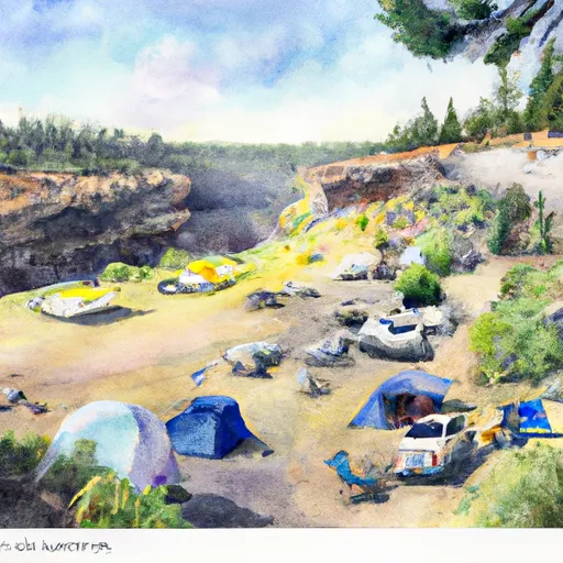 Page Springs Campground
|
||
 Page Springs Campsite
|
||
 Page Springs
|
||
 BR1-User Created
|
||
 BR2-User Created
|
||
 BR3-User Created
|
