Summary
The park offers numerous amenities to ensure a comfortable stay for campers. The campground provides 15 campsites, each equipped with water and electricity hookups, picnic tables, and grills. Restrooms with hot showers are conveniently located within the campground, along with a dump station for RVs. Additionally, there is a playground and a group picnic pavilion available for use.
Reservations are accepted for campsites at Mission Tejas State Park, which is particularly useful during peak seasons. The campground is open year-round, allowing visitors to enjoy its natural beauty in any season. However, the best time to visit is during spring and fall when the weather is mild, and the park is less crowded.
While camping in Mission Tejas State Park, there are several things of interest to explore. The park features a replica of Mission San Francisco de los Tejas, one of the first Spanish missions in Texas. Visitors can take a guided tour to learn about the history and significance of the mission. Additionally, the park offers several hiking trails, including the Dogwood Trail and the San Francisco de los Tejas Trail, which showcase the park's diverse flora and fauna. However, it is crucial to be cautious of wildlife such as snakes and insects while exploring the area.
°F
°F
mph
Wind
%
Humidity
15-Day Weather Outlook
Nearby Campgrounds
5-Day Hourly Forecast Detail
Nearby Streamflow Levels
 Angelina Rv Nr Alto
|
293cfs |
 Neches Rv Nr Neches
|
339cfs |
 Trinity Rv Nr Crockett
|
1770cfs |
 Mud Ck Nr Jacksonville
|
53cfs |
 E Fk Angelina Rv Nr Cushing
|
41cfs |
 Trinity Rv Nr Oakwood
|
1160cfs |
Camping Essential Practices
Take all trash, food scraps, and gear back with you to keep campsites clean and protect wildlife.
Respect Wildlife
Observe animals from a distance, store food securely, and never feed wildlife to maintain natural behavior and safety.
Know Before You Go
Check weather, fire restrictions, trail conditions, and permit requirements to ensure a safe and well-planned trip.
Minimize Campfire Impact
Use established fire rings, keep fires small, fully extinguish them, or opt for a camp stove when fires are restricted.
Leave What You Find
Preserve natural and cultural features by avoiding removal of plants, rocks, artifacts, or other elements of the environment.

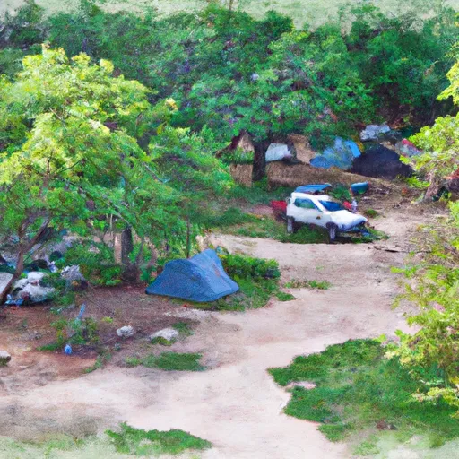 Mission Tejas State Park
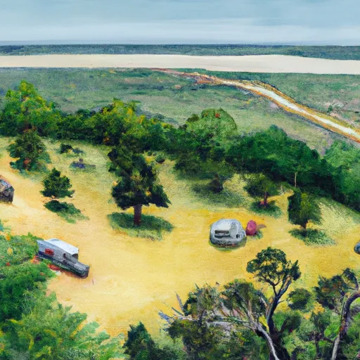 Neches Bluff Overlook
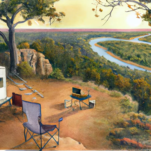 Neches Bluff Overlook: (936) 655-2299
 Ratcliff Lake
 Ratcliff Lake Recreation Area
 Ratcliff Lake: (936) 655-2299