Summary
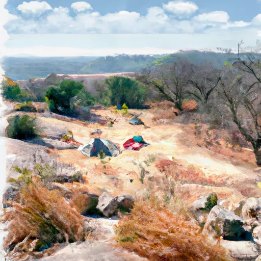
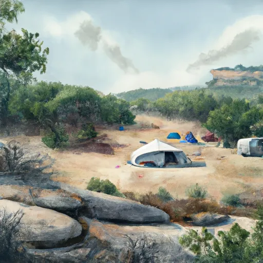
The area is known for its stunning views of the surrounding landscape, including the nearby Lake Conroe and Lone Star Hiking Trail. Moreover, it offers abundant outdoor activities such as hiking, fishing, kayaking, and bird-watching. The campground offers 11 campsites with picnic tables, fire pits, and access to restrooms and potable water. The sites are available on a first-come, first-served basis, and there is no electrical or RV hook-up available.
One interesting fact about the area is that it is home to several endangered species such as the Red-cockaded Woodpecker and the Houston Toad. The best time to visit Toll Mountain 1 is from September to November or March to May when the temperature is mild and ideal for outdoor activities. The average temperature during these months is around 60°F to 80°F.
In addition to the stunning views, there are several nearby points of interest, including the Lake Conroe Park, which is a popular spot for fishing and boating. The W. Goodrich Jones State Forest is another destination worth visiting, with its picturesque trails and wildlife. Hikers can explore the nearby Lone Star Hiking Trail, which stretches for 96 miles through the Sam Houston National Forest.
Overall, the Toll Mountain 1 Camping Area is a tranquil and serene destination for nature lovers seeking a peaceful getaway.
°F
°F
mph
Wind
%
Humidity
15-Day Weather Outlook
Nearby Campgrounds
| Location | Reservations |
|---|---|
 Toll Mountain 1
|
|
 Pinnacles 1
|
|
 Pinnacles Campsite #1
|
|
 Pinnacles 2
|
|
 Pinnacles 3
|
|
 Boulder Meadow Campsite #5
|
5-Day Hourly Forecast Detail
Nearby Streamflow Levels
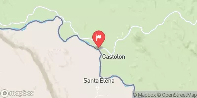
 Rio Grande Nr Castolon
|
262cfs |
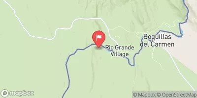
 Rio Grande At Rio Grande Village
|
254cfs |
Camping Essential Practices
Take all trash, food scraps, and gear back with you to keep campsites clean and protect wildlife.
Respect Wildlife
Observe animals from a distance, store food securely, and never feed wildlife to maintain natural behavior and safety.
Know Before You Go
Check weather, fire restrictions, trail conditions, and permit requirements to ensure a safe and well-planned trip.
Minimize Campfire Impact
Use established fire rings, keep fires small, fully extinguish them, or opt for a camp stove when fires are restricted.
Leave What You Find
Preserve natural and cultural features by avoiding removal of plants, rocks, artifacts, or other elements of the environment.
