Summary
The area is surrounded by beautiful views of the Bridger-Teton National Forest and the Wind River Range. The campground is situated near several points of interest, including the Green River, the Fontenelle Reservoir, and the Shoshone National Forest.
The Fontenelle Creek Campsite 49 offers various amenities, including picnic tables, fire rings, and vault toilets. The campsite is also equipped with a potable water source, but visitors are advised to bring their own water for drinking and cooking.
Interesting facts about the area include the historic significance of the Fontenelle Reservoir, which was built in the 1950s as part of the Fontenelle Dam project. The reservoir is home to several species of fish, including rainbow and brown trout, making it a popular spot for fishing.
The best time of year to visit the Fontenelle Creek Campsite 49 is during the summer months, from June to August, when the average temperature ranges from 70 to 80 degrees Fahrenheit. However, visitors should be prepared for cooler temperatures at night and the possibility of rain.
Overall, the Fontenelle Creek Campsite 49 is a wonderful destination for those looking to explore the natural beauty of Wyoming and experience outdoor activities such as fishing and camping.
°F
°F
mph
Wind
%
Humidity
15-Day Weather Outlook
Nearby Campgrounds
5-Day Hourly Forecast Detail
Nearby Streamflow Levels
Camping Essential Practices
Take all trash, food scraps, and gear back with you to keep campsites clean and protect wildlife.
Respect Wildlife
Observe animals from a distance, store food securely, and never feed wildlife to maintain natural behavior and safety.
Know Before You Go
Check weather, fire restrictions, trail conditions, and permit requirements to ensure a safe and well-planned trip.
Minimize Campfire Impact
Use established fire rings, keep fires small, fully extinguish them, or opt for a camp stove when fires are restricted.
Leave What You Find
Preserve natural and cultural features by avoiding removal of plants, rocks, artifacts, or other elements of the environment.
Related Links
Nearby Snowpack Depths
|
FONTENELLE DAM - COOP
|
0" |
|
HAMS FORK
|
0" |
|
NOHRSC HAMS FORK SNOTEL
|
1" |
|
NOHRSC INDIAN CREEK SNOTEL
|
4" |
|
INDIAN CREEK
|
4" |
|
SNIDER BASIN
|
0" |

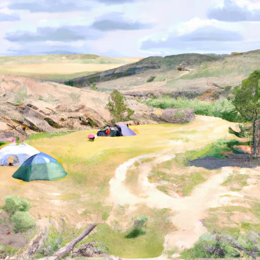 Fontenelle Creek Campsite 49
 Fontenelle Creek Campsite 50
 Fontenelle Creek Campsite 51
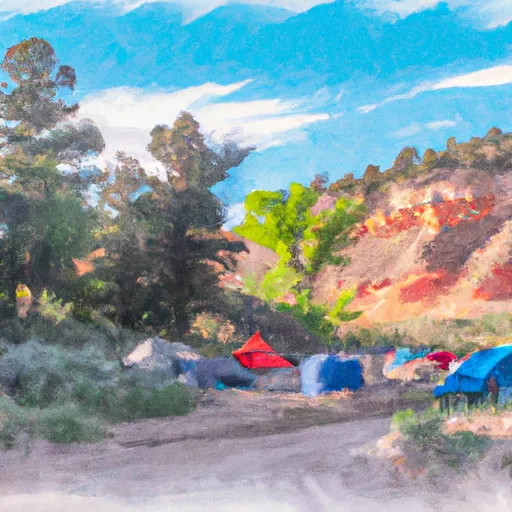 Fontenelle Creek Campsite 48
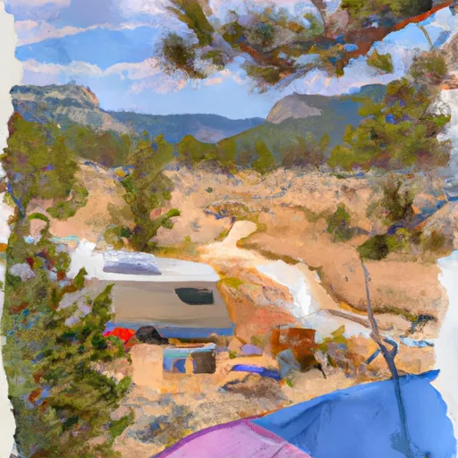 Fontenelle Creek Campsite 52
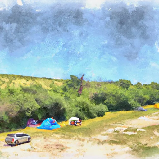 Fontenelle Creek Campsite 53
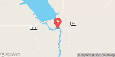
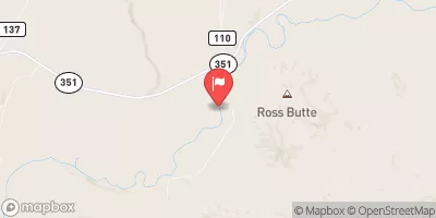
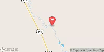
 Fontenelle Creek Boat Ramp
 Tail Race Campground Boat Launch
 Weeping Rock Campground Boat Launch
 Names Hill Boat Launch
 Slate Creek Campground Boat Launch