Summary
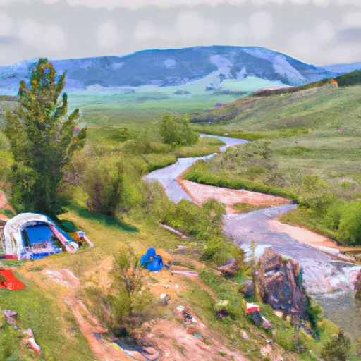
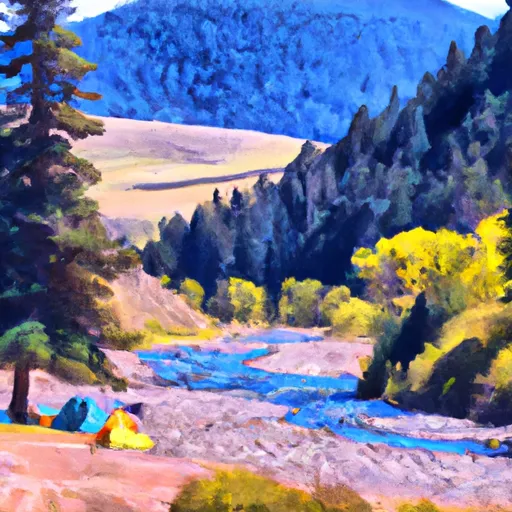
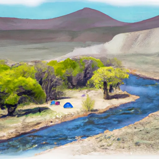
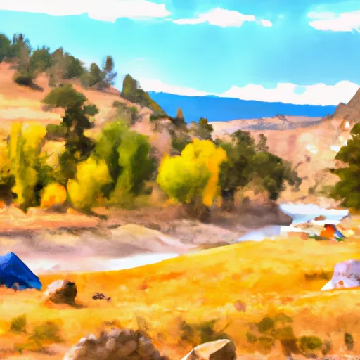
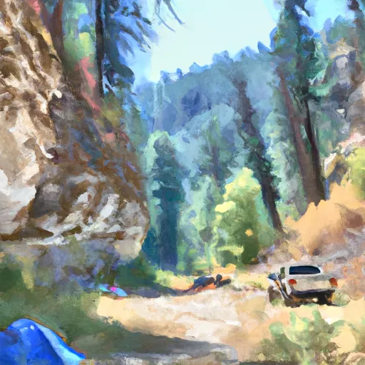
The area is located near several tourist attractions, including Yellowstone National Park, which is just a few miles away. The campground offers several amenities, including picnic tables, fire pits, and restroom facilities. It is a first-come-first-serve facility with 21 campsites available.
An interesting and quirky fact about the area is that it is home to the Gallatin Petrified Forest, which is a prehistoric site that preserves the remains of petrified trees that are over 50 million years old. The best time of year to visit the Upper Gallatin River Camping Area is during the summer months, from June to August. The average temperature during this time is around 70°F, making it an ideal temperature for camping and outdoor activities.
Overall, the Upper Gallatin River Camping Area provides a beautiful camping experience with a variety of nearby tourist attractions, making it the perfect destination for outdoor enthusiasts looking to explore the natural beauty of Wyoming.
°F
°F
mph
Wind
%
Humidity
15-Day Weather Outlook
Nearby Campgrounds
| Location | Reservations |
|---|---|
 Upper Gallatin River
|
|
 WB6
WB6
|
|
 Upper Gallatin River Stock
|
|
 Gallatin River Stock
|
|
 Gallatin River
|
|
 Lower Fan Creek
|
5-Day Hourly Forecast Detail
Nearby Streamflow Levels
Camping Essential Practices
Take all trash, food scraps, and gear back with you to keep campsites clean and protect wildlife.
Respect Wildlife
Observe animals from a distance, store food securely, and never feed wildlife to maintain natural behavior and safety.
Know Before You Go
Check weather, fire restrictions, trail conditions, and permit requirements to ensure a safe and well-planned trip.
Minimize Campfire Impact
Use established fire rings, keep fires small, fully extinguish them, or opt for a camp stove when fires are restricted.
Leave What You Find
Preserve natural and cultural features by avoiding removal of plants, rocks, artifacts, or other elements of the environment.
Related Links
Nearby Snowpack Depths
|
CARROT BASIN
|
17" |
|
CARROT BASIN
|
17" |
|
WEST YELLOWSTONE
|
0" |
|
NOHRSC WEST YELLOWSTONE
|
0" |
|
BEAVER CREEK
|
0" |
|
NOHRSC BEAVER CREEK
|
1" |

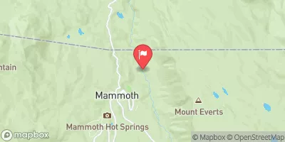
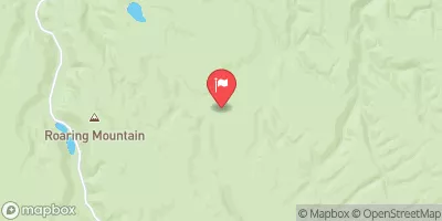
 The Headwaters, In The Gallatin Range To Ends Downstream Of Osprey Falls
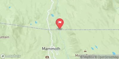
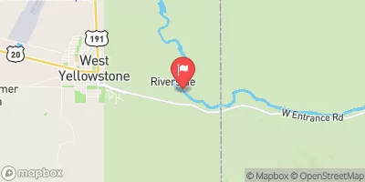
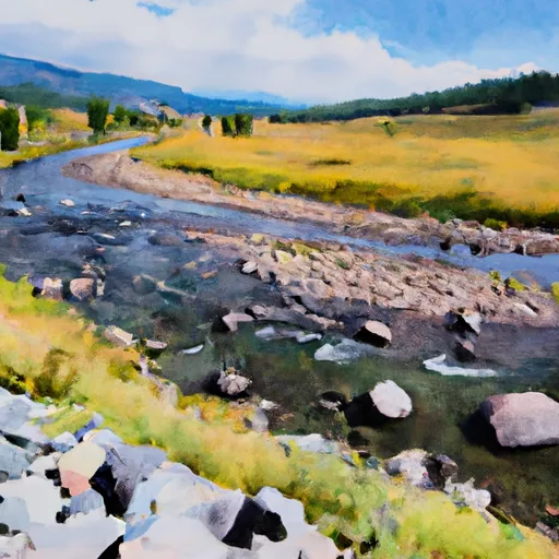 The Headwaters In The Gallatin Range To Ends Where The River Parallels A Two-Lane Highway
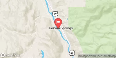
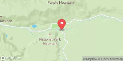
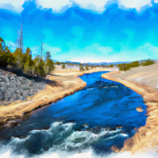 Begins Where The River Parallels A Two-Lane Highway To The Western Boundary Of Yellowstone National Park