

-
 Snoflo Premium
Get unlimited access to all our content
With no Ad interruptions! - Start Your Free Trial Login with existing account
Ariel
Eden Index
Climate
4.8
•
Recreation
4.1
•
Community
•
Safeguard
3.3/10
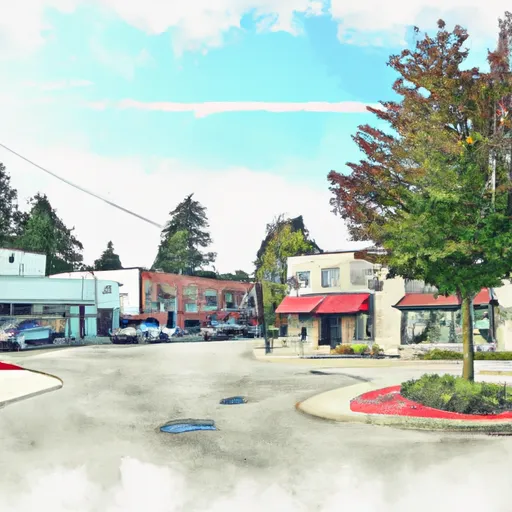
Ariel is a small town located in Cowlitz County, Washington, with a population of approximately 600 people. The climate in Ariel is characterized by mild summers and cool, wet winters. The area receives an average of 68 inches of rainfall per year, making it a relatively wet region. The hydrology constituents of Ariel include the Lewis River, which runs through the town and is a popular spot for fishing and water sports. The nearby Gifford Pinchot National Forest offers numerous outdoor recreation opportunities, including hiking, camping, and wildlife viewing. The Ape Caves, a popular lava tube cave system, are also located near Ariel and offer visitors a unique underground experience.
What is the Eden Index?
The Snoflo Eden Index serves as a comprehensive rating system for regions, evaluating their desirability through a holistic assessment of climate health, outdoor recreation opportunities, and natural disaster risk, acknowledging the profound impact of these factors on livability and well-being.
Climate Health Indicator (CHI): 4.8
Ariel receives approximately
4215mm of rain per year,
with humidity levels near 82%
and air temperatures averaging around
9°C.
Ariel has a plant hardyness factor of
8, meaning
plants and agriculture in this region tend to thrive here all year round.
By considering the ideal temperature range, reliable water supplies, clean air, and stable seasonal rain or snowpacks, the Climate Health Indicator (CHI) underscores the significance of a healthy climate as the foundation for quality living.
A healthy climate is paramount for ensuring a high quality of life and livability in a region, fostering both physical well-being and environmental harmony. This can be characterized by ideal temperatures, reliable access to water supplies, clean air, and consistent seasonal rain or snowpacks.
Weather Forecast
Streamflow Conditions
Lower Columbia
Area Rivers
Lower Columbia
Snowpack Depths
Lower Columbia
Reservoir Storage Capacity
Lower Columbia
Groundwater Levels
Recreational Opportunity Index (ROI): 4.1
The Recreational Opportunity Index (ROI) recognizes the value of outdoor recreational options, such as parks, hiking trails, camping sites, and fishing spots, while acknowledging that climate plays a pivotal role in ensuring the comfort and consistency of these experiences.
Access to outdoor recreational opportunities, encompassing activities such as parks, hiking, camping, and fishing, is crucial for overall well-being, and the climate plays a pivotal role in enabling and enhancing these experiences, ensuring that individuals can engage in nature-based activities comfortably and consistently.
Camping Areas
| Campground | Campsites | Reservations | Toilets | Showers | Elevation |
|---|---|---|---|---|---|
| Lake Merrill- State Forest | 11 | 1,573 ft | |||
| Cold Creek- State Forest | 6 | 1,082 ft | |||
| Battle Ground Lake State Park | 46 | 477 ft |
Catastrophe Safeguard Index (CSI):
The Catastrophe Safeguard Index (CSI) recognizes that natural disaster risk, encompassing floods, fires, hurricanes, and tornadoes, can drastically affect safety and the overall appeal of an area.
The level of natural disaster risk in a region significantly affects safety and the overall livability, with climate change amplifying these risks by potentially increasing the frequency and intensity of events like floods, fires, hurricanes, and tornadoes, thereby posing substantial challenges to community resilience and well-being.
Community Resilience Indicator (CRI):
The Community Resilience Indicator (CRI) recognizes that education, healthcare, and socioeconomics are crucial to the well-being of a region. The CRI acknowledges the profound impact of these elements on residents' overall quality of life. By evaluating educational resources, healthcare accessibility, and economic inclusivity, the index captures the essential aspects that contribute to a thriving community, fostering resident satisfaction, equity, and social cohesion.