°F
°F
mph
Windspeed
%
Humidity


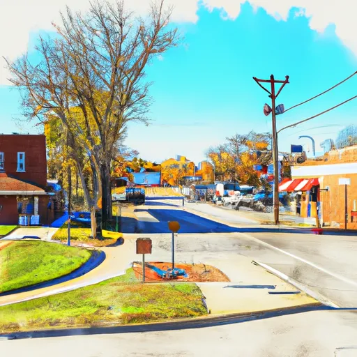
Bevier, Missouri is a small town located in Macon County. The climate in Bevier is characterized by hot summers and cold winters. The town receives an average of 44 inches of rainfall per year and experiences occasional flooding due to its location near the Chariton River. The river also provides opportunities for fishing and boating. Bevier is also home to the Thomas Hill Reservoir, which offers camping, hiking, and water recreation activities. The surrounding area is known for its hunting and outdoor recreation opportunities, including deer and turkey hunting.
Weather Forecast
Bevier receives approximately 1038mm of rain per year, with humidity levels near 82% and air temperatures averaging around 12°C. Bevier has a plant hardyness factor of 5, meaning plants and agriculture in this region thrive during a short period during spring and early summer. Most plants will die off during the colder winter months.
Regional Streamflow Levels
1
Cubic Feet Per Second
32
Cubic Feet Per Second
10
Cubic Feet Per Second
154
Cubic Feet Per Second
Nearby Camping
| Camping Area | Reservations | Toilets | Showers |
|---|---|---|---|
| Lakeview - Bull Shoals Lake | |||
| Rush Landing - Buffalo National River | |||
| Sequoya Park | |||
| Buffalo Point - Buffalo National River | |||
| Tyler Bend - Buffalo National River | |||
| Cherokee |


