°F
°F
mph
Windspeed
%
Humidity


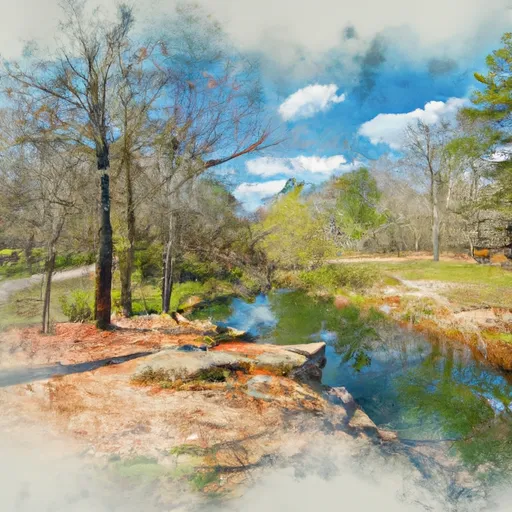
Browning, Missouri is a small town located in the northern part of the state. The climate in Browning is characterized by hot summers and cold winters, with average temperatures ranging from 26°F in January to 87°F in July. The town is situated near several rivers, including the Grand River, which provides hydrology constituents and outdoor recreation opportunities such as fishing and boating. Additionally, the town's location near several state parks and natural areas offers opportunities for hiking, camping, and wildlife viewing. Despite its small size, Browning offers a variety of outdoor activities for visitors and residents alike.
Weather Forecast
Browning receives approximately 991mm of rain per year, with humidity levels near 82% and air temperatures averaging around 12°C. Browning has a plant hardyness factor of 5, meaning plants and agriculture in this region thrive during a short period during spring and early summer. Most plants will die off during the colder winter months.
Regional Streamflow Levels
15
Cubic Feet Per Second
66
Cubic Feet Per Second
1
Cubic Feet Per Second
124
Cubic Feet Per Second
Nearby Camping
| Camping Area | Reservations | Toilets | Showers |
|---|---|---|---|
| Long Creek - Table Rock Lake | |||
| Indian Point - Table Rock Lake | |||
| Drury-Mincy Conservation Area - MDC | |||
| Cricket Creek | |||
| Tucker Hollow - Bull Shoals Lake | |||
| Shadow Rock Park |


