°F
°F
mph
Windspeed
%
Humidity


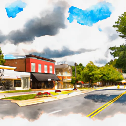
Catharpin is a small unincorporated community in northern Virginia, located between Gainesville and Manassas. The climate in Catharpin is considered humid subtropical, with hot summers and mild winters. The area is characterized by rolling hills and forests with numerous streams and creeks, including the Broad Run and Cedar Run watersheds. Water quality in these streams is closely monitored due to concerns about high levels of nutrients and sediment from agricultural runoff. Outdoor recreation opportunities in the area include hiking, camping, and fishing at nearby parks such as Bull Run Regional Park and Manassas National Battlefield Park.
Weather Forecast
Catharpin receives approximately 1081mm of rain per year, with humidity levels near 80% and air temperatures averaging around 13°C. Catharpin has a plant hardyness factor of 7, meaning plants and agriculture in this region tend to thrive during the non-winter months.
Regional Streamflow Levels
199
Cubic Feet Per Second
10
Cubic Feet Per Second
8
Cubic Feet Per Second
0
Cubic Feet Per Second
Nearby Camping
| Camping Area | Reservations | Toilets | Showers |
|---|---|---|---|
| Prince William Forest RV Campground | |||
| Oak Ridge - Prince William Forest Park | |||
| Greenbrier State Park | |||
| Brunswick City Campground | |||
| Bull Run Regional Park | |||
| Owens Creek - Catoctin Mountain National Park |


