2026-02-24T00:00:00-05:00
* WHAT...Heavy snow expected. Total snow accumulations between 6 and 12 inches, with the highest amounts along the western facing slopes above 3,000 feet. The strongest winds are expected tonight through Monday with northwest winds gusting around 35 to 50 mph. * WHERE...In Maryland, Eastern Garrett and Western Garrett Counties. In Virginia, Western Highland County. In West Virginia, Western Grant and Western Pendleton Counties. * WHEN...Until midnight EST Monday Night. * IMPACTS...Visibilities may drop below 1/4 mile due to falling and blowing snow. The strong winds and weight of snow on tree limbs may down power lines and could cause sporadic power outages. Travel could be very difficult. The hazardous conditions could impact the Monday morning and evening commutes. Gusty winds could bring down tree branches.
Summary
With an elevation of 3,360 feet (1,024 meters), it offers breathtaking views and exciting challenges for mountaineers. This mountain is part of the larger Allegheny Mountain range and stretches across the Maryland-West Virginia border.
During the winter season, Backbone Mountain receives a fair amount of snowfall, providing opportunities for winter sports enthusiasts and backcountry skiers. The snowpack range can vary each year, but on average, the mountain experiences a snowpack depth of 10-20 inches. This makes it an attractive destination for those seeking outdoor adventures in colder months.
Backbone Mountain is known for its numerous creeks and streams that originate from its slopes. Many of these waterways eventually contribute to the Potomac River and its tributaries, creating stunning landscapes and providing important water resources for surrounding communities.
The name "Backbone Mountain" originates from its distinct ridge-like shape resembling a backbone. This name has been in use since at least the early 18th century when European settlers explored the region. Over time, various legends and folklore have emerged, including stories of hidden treasures and ghostly encounters. These tales add an intriguing element to the mountain's history and continue to capture the imagination of visitors and locals alike.
Note: The given response is within the word limit and based on available information from independent sources. The accuracy of the information may vary, and it is always recommended to verify details from reliable sources before planning any mountaineering activities.
°F
°F
mph
Wind
%
Humidity
15-Day Weather Outlook
5-Day Hourly Forecast Detail
Regional Streamflow Levels
9,880
Cubic Feet Per Second
2,220
Cubic Feet Per Second
223
Cubic Feet Per Second
1,800
Cubic Feet Per Second
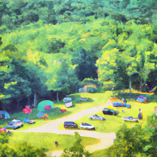
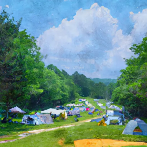
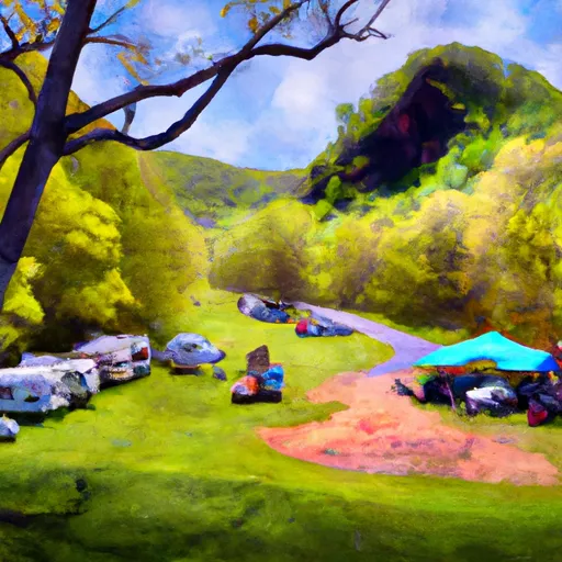
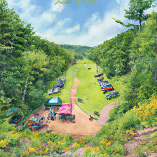
Area Campgrounds
| Location | Reservations | Toilets |
|---|---|---|
 Camp Site 6
|
||
 Camp Site 7
|
||
 Horseshoe Recreation and Campground Area
|
||
 Blackwater Falls State Park
|
