Climax-Springs

Climate Recreation Community Catastrophe

Climax-Springs
Eden Index

Climate 8.3 Recreation 2.8 Community Safeguard

4.3/10

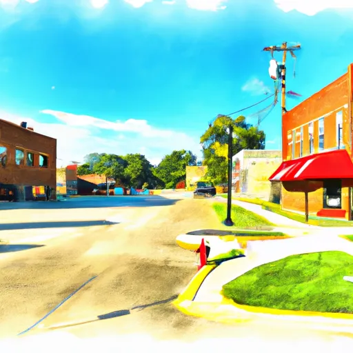
Climax-Springs is a small town in Missouri located near the Lake of the Ozarks. The climate in Climax-Springs is characterized by hot, humid summers and cold winters with occasional snowfall. The town is surrounded by the lake and its hydrology constituents play a vital role in providing a range of outdoor activities such as boating, fishing, and swimming. The lake also provides a unique ecosystem that supports a wide range of wildlife and plant species. Besides water-based activities, Climax-Springs offers opportunities for hiking, camping, and hunting in the nearby forests and parks. Overall, Climax-Springs is an excellent destination for those seeking outdoor recreational activities in a serene and natural setting.

What is the Eden Index?

The Snoflo Eden Index serves as a comprehensive rating system for regions, evaluating their desirability through a holistic assessment of climate health, outdoor recreation opportunities, and natural disaster risk, acknowledging the profound impact of these factors on livability and well-being.


Climate Health Indicator (CHI): 8.3


Climax-Springs receives approximately 1059mm of rain per year, with humidity levels near 83% and air temperatures averaging around 13°C. Climax-Springs has a plant hardyness factor of 6, meaning plants and agriculture in this region thrive during a short period during spring and early summer. Most plants will die off during the colder winter months. By considering the ideal temperature range, reliable water supplies, clean air, and stable seasonal rain or snowpacks, the Climate Health Indicator (CHI) underscores the significance of a healthy climate as the foundation for quality living.

A healthy climate is paramount for ensuring a high quality of life and livability in a region, fostering both physical well-being and environmental harmony. This can be characterized by ideal temperatures, reliable access to water supplies, clean air, and consistent seasonal rain or snowpacks.


Weather Forecast


Streamflow Conditions

Osage

Area Rivers

Osage


Snowpack Depths

Osage


Reservoir Storage Capacity

Osage


Groundwater Levels


Recreational Opportunity Index (ROI): 2.8


The Recreational Opportunity Index (ROI) recognizes the value of outdoor recreational options, such as parks, hiking trails, camping sites, and fishing spots, while acknowledging that climate plays a pivotal role in ensuring the comfort and consistency of these experiences. Access to outdoor recreational opportunities, encompassing activities such as parks, hiking, camping, and fishing, is crucial for overall well-being, and the climate plays a pivotal role in enabling and enhancing these experiences, ensuring that individuals can engage in nature-based activities comfortably and consistently.


Camping Areas

Campground Campsites Reservations Toilets Showers Elevation
Wolf Creek Rec Area 22 963 ft
Brookfield City Park 15 788 ft
Miami Lake Park None 918 ft
Mariposa Co Park 15 961 ft
River Road None 355 ft
Ozark - Buffalo National River None 865 ft
Salisbury City Park None 714 ft
Stump Island Park 12 618 ft
River Run None 701 ft
Cedar Glades Park None 562 ft
Shadow Rock Park None 676 ft
Richland Creek 13 1,034 ft
Grammer Grove Wildlife Area None 930 ft
Arlie Moore - De Gray Lake 87 517 ft
Ozan Point - De Gray Lake 50 422 ft
Lake Sylvia 27 704 ft
Elk Rock State Park 75 843 ft
Erbie - Buffalo National River None 847 ft
Herring Memorial Park - Brunswick None 761 ft
Caddo Drive - De Gray Lake 72 415 ft
Edgewood - De Gray Lake 51 409 ft
Stephens - Lake Ouachita 9 420 ft
Timmons Grove County Park 18 889 ft
North Overlook - Red Rock Lake 55 796 ft
Lead Hill - Bull Shoals Lake None 678 ft
DeGray Lake State Park 113 403 ft
Versailles City Park None 990 ft
Cherokee None 277 ft
Unionville City RV Park 45 1,065 ft
Roberts Creek Park None 803 ft
Bayou Bluff 28 634 ft
Whitebreast - Red Rock Lake 130 828 ft
Quarry Cove None 372 ft
Riverview - Lake Dardanelle None 363 ft
Lake Catherine State Park None 396 ft
Sequoya Park 14 306 ft
Drury-Mincy Conservation Area - MDC 4 976 ft
Buck Creek - Bull Shoals Lake None 724 ft
Howell Station - Red Rock Lake 140 704 ft
Wallashuck - Red Rock Lake 80 833 ft
Maxwell Taylor Park None 702 ft
Pilot Grove City Park None 845 ft
Tucker Hollow - Bull Shoals Lake None 697 ft
Long Pool 77 615 ft
Riverview Park - Marshalltown None 868 ft
Camp Ridge 91 1,347 ft
Gulpha Gorge - Hot Springs National Park 44 540 ft
Bennett Spring State Park None 880 ft
Rock Creek State Park 200 902 ft
Lake Ouachita State Park None 759 ft
Highway 125 - Bull Shoals Lake None 707 ft
Iron Mountain - De Gray Lake 69 456 ft
Arrow Rock State Park 46 728 ft
Petit Jean State Park None 900 ft
Cedar Creek Access None 704 ft
County Line None 359 ft
Carver - Buffalo National River None 710 ft
Cobb Ridge 19 1,360 ft
Ivans - Red Rock Lake None 708 ft

Catastrophe Safeguard Index (CSI):


The Catastrophe Safeguard Index (CSI) recognizes that natural disaster risk, encompassing floods, fires, hurricanes, and tornadoes, can drastically affect safety and the overall appeal of an area. The level of natural disaster risk in a region significantly affects safety and the overall livability, with climate change amplifying these risks by potentially increasing the frequency and intensity of events like floods, fires, hurricanes, and tornadoes, thereby posing substantial challenges to community resilience and well-being.


Community Resilience Indicator (CRI):


The Community Resilience Indicator (CRI) recognizes that education, healthcare, and socioeconomics are crucial to the well-being of a region. The CRI acknowledges the profound impact of these elements on residents' overall quality of life. By evaluating educational resources, healthcare accessibility, and economic inclusivity, the index captures the essential aspects that contribute to a thriving community, fostering resident satisfaction, equity, and social cohesion.


Log Your Visit

When was your last visit to ?

Add a Photo

How was it? How were conditions?

Rate the


Submit

Leave A Review


Submit

Upload an Image


Favorite Limit Reached