°F
°F
mph
Windspeed
%
Humidity


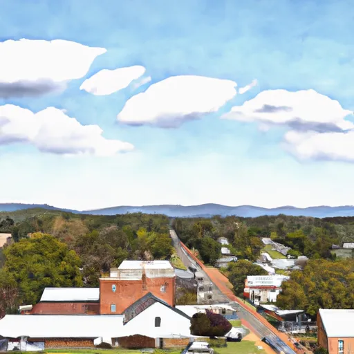
Criders, Virginia is a small rural community located in the western part of the state. The climate is characterized by hot summers and cold winters, with average temperatures ranging from the low 20s to the high 80s. The area is also known for its high precipitation rates, with an average annual rainfall of around 40 inches. The nearby North Fork of the Shenandoah River provides ample opportunities for fishing, kayaking, and other water-based activities. The area is also popular for hiking and camping, with several trails and campgrounds located in the nearby national forests. One of the main hydrology constituents in the area is the karst landscape, which features numerous underground caves and springs.
Weather Forecast
Criders receives approximately 1016mm of rain per year, with humidity levels near 78% and air temperatures averaging around 10°C. Criders has a plant hardyness factor of 6, meaning plants and agriculture in this region thrive during a short period during spring and early summer. Most plants will die off during the colder winter months.
Regional Streamflow Levels
17
Cubic Feet Per Second
69
Cubic Feet Per Second
70
Cubic Feet Per Second
126
Cubic Feet Per Second
Nearby Camping
| Camping Area | Reservations | Toilets | Showers |
|---|---|---|---|
| Big Run State Park | |||
| New Germany State Park | |||
| Robert W. Craig - Jennings Randolph Lake | |||
| Sherando Lake | |||
| Savage River State Forest Dispersed |


