°F
°F
mph
Windspeed
%
Humidity


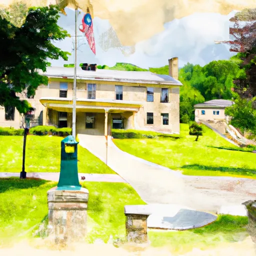
Delaplane, Virginia is a small unincorporated community located in Fauquier County. The climate in Delaplane is characterized by warm summers and cool winters, with an annual average temperature of 54°F. The area is also known for its high annual rainfall, which contributes to the hydrology constituents of the region. The Delaplane area is nestled in a valley formed by the Bull Run Mountains and the Blue Ridge Mountains. The surrounding landscape offers many opportunities for outdoor recreation, including hiking, fishing, and hunting. The Sky Meadows State Park is nearby, providing visitors with access to over 24 miles of hiking trails and numerous campsites. Visitors can also explore the many wineries and vineyards in the area, which offer wine tastings and tours.
Weather Forecast
Delaplane receives approximately 1065mm of rain per year, with humidity levels near 80% and air temperatures averaging around 13°C. Delaplane has a plant hardyness factor of 7, meaning plants and agriculture in this region tend to thrive during the non-winter months.
Regional Streamflow Levels
199
Cubic Feet Per Second
179
Cubic Feet Per Second
43
Cubic Feet Per Second
9
Cubic Feet Per Second
Nearby Camping
| Camping Area | Reservations | Toilets | Showers |
|---|---|---|---|
| Lake Anna State Park | |||
| Fort Frederick State Park | |||
| McCoys Ferry - C and O Canal National Park |


