°F
°F
mph
Windspeed
%
Humidity


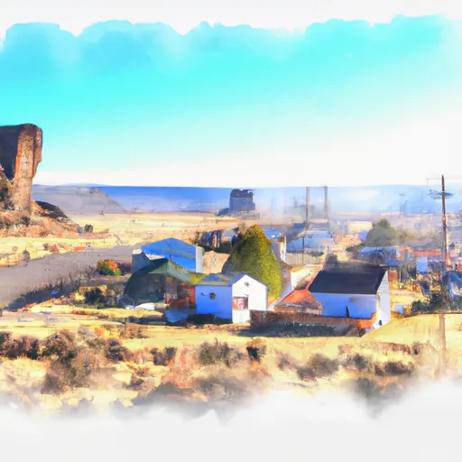
Fort Rock is a small community located in Central Oregon, known for its unique geological formation, Fort Rock State Natural Area. The area has a semi-arid climate with hot summers and cold winters, and receives an average of 12 inches of precipitation annually. The region's hydrology constituents consist of streams, springs, and groundwater. Fort Rock State Natural Area offers various outdoor recreation opportunities such as hiking, camping, and wildlife viewing. Visitors can explore the 50-foot high volcanic tuff formation and learn about the area's rich cultural history. The nearby Deschutes National Forest also provides opportunities for fishing, boating, and skiing during the winter months.
Weather Forecast
Fort-Rock receives approximately 286mm of rain per year, with humidity levels near 74% and air temperatures averaging around 7°C. Fort-Rock has a plant hardyness factor of 5, meaning plants and agriculture in this region thrive during a short period during spring and early summer. Most plants will die off during the colder winter months.
Nearby Camping
| Camping Area | Reservations | Toilets | Showers |
|---|---|---|---|
| East Lake | |||
| East Bay | |||
| Silver Creek Marsh | |||
| Cabin Lake | |||
| Cinder Hill | |||
| Thompson Reservoir |


