Make an Announcement

Communicate warnings, disperse advice, and share.


CHINESE PEAK

Mountains and Summits


Pacific Ranges Sierra Nevada

Chinese Peak

8,705 ft

Chinese Peak is a prominent summit located in the Pacific Ranges mountain range of North America. It boasts an impressive elevation of 3,051 meters (10,010 feet), making it a desirable destination for mountaineers and outdoor enthusiasts. This iconic peak forms part of the Sierra Nevada mountain range and offers breathtaking panoramic views of the surrounding landscape.

During the winter season, Chinese Peak experiences a substantial snowpack range. The peak receives abundant snowfall, creating optimal conditions for winter sports such as skiing and snowboarding. The snowpack also contributes to the formation of several creeks and rivers in the region. Notably, some of the creeks that receive runoff from Chinese Peak include the scenic Clear Creek and the picturesque Carson River.

The history of the name "Chinese Peak" remains a subject of interest and speculation. While it is unclear how the peak acquired its name, local lore and legends provide some intriguing possibilities. One account suggests that Chinese immigrants who worked on the construction of the nearby railroad named the peak in honor of their heritage. Another theory proposes that Chinese miners were drawn to the area during the Gold Rush era, leading to the naming of the peak. Regardless of its origin, Chinese Peak remains a captivating and challenging destination for mountaineers, who seek to conquer its majestic slopes and immerse themselves in its rich history and natural beauty.


Outdoor Recreation

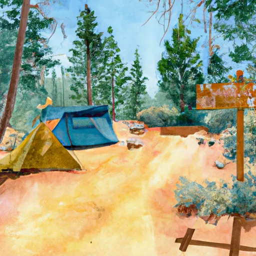
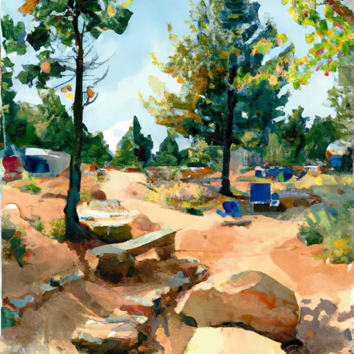
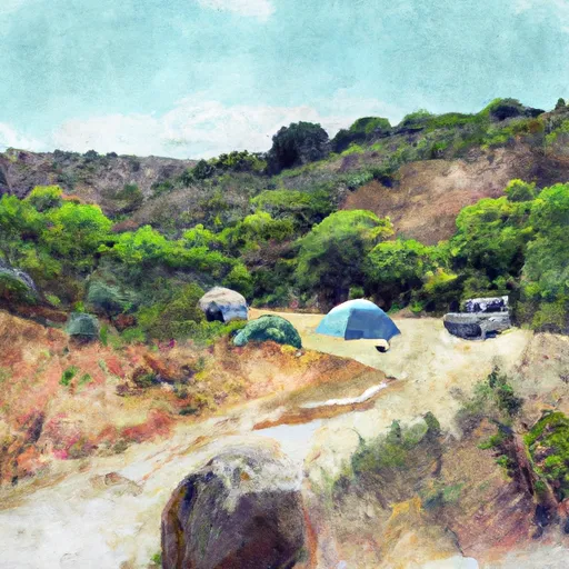
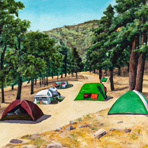
Campground Campsites Reservations Toilets Showers Elevation
Soda Springs 29 7,690 ft
Pine Flat Rec Area 52 586 ft
Reds Meadow 56 7,659 ft
Pine City 10 8,937 ft
Camp 4 1/2 5 1,082 ft
Rancheria 153 7,024 ft
Buck Meadow 9 6,758 ft
Lily Pad 15 6,553 ft
Lake George 15 9,048 ft
Placer 7 4,099 ft
Vermillion 32 7,663 ft
Camp High Sierra None 8,133 ft
Catavee 30 7,032 ft
Choinumni 36 557 ft
Gigantea 11 6,358 ft
Mammoth Pool 47 3,594 ft
West Kaiser 10 5,785 ft
Little Jackass 6 4,886 ft
Sawmill Flat 10 6,720 ft
Rock Creek 28 4,392 ft
Billy Creek - Upper 48 7,033 ft
College 12 6,970 ft
Minaret Falls 26 7,609 ft
Portal Forebay 10 7,179 ft
Lake Mary 51 8,948 ft
Mono Hot Springs 28 6,555 ft
Swanson 9 5,698 ft
Camp Edison 252 5,453 ft
Sample Meadow 13 7,828 ft
Trimmer - Pine Flat Lake 10 938 ft
Black Rock - Trimmer 10 4,218 ft
Sweetwater 10 3,858 ft
Jackass Meadow 48 7,170 ft
Devils Postpile 21 9,079 ft
Badger Flat 15 8,244 ft
Pumice Flat 4 7,660 ft
Trapper Springs None 8,343 ft
Marmot Rock 15 8,225 ft
Clover Meadow 7 7,017 ft
Princess 88 5,868 ft
Island Park - Pine Flat Lake 97 1,157 ft
Pine Glen - Mammoth Lakes 18 7,773 ft
Kinnikinnick 35 7,005 ft
Kirch Flat - Pine Flat Lake 17 1,007 ft
Dorabelle 71 5,418 ft
Coldwater 75 9,000 ft
New Shady Rest 92 7,804 ft
Camp 4 - Yosemite National Park 35 1,048 ft
Dinkey 141 5,829 ft
Bretz 12 3,281 ft
Billy Creek - Lower 11 6,976 ft
Old Shady Rest 46 7,809 ft
Ski Area Snowpack Air Temperature 5 Day Forecast
June Mountain 37" 50° 0.32"
China Peak (Sierra Summit) 41.91" 46° 0.07"
Mammoth Mountain 37" 50° 0.32"
River Run Streamflow Length Class

Regional Water Data

Gauge Streamflow Stage
Tuolumne R A Grand Cyn Of Tuolumne Ab Hetch Hetchy
USGS 11274790
2,310 cfs 14.0 ft
Merced R A Happy Isles Bridge Nr Yosemite Ca
USGS 11264500
2,210 cfs 6.0 ft
Deadman C A Big Springs Nr Crestview Ca
USGS 10265100
46 cfs 6.9 ft
Merced R A Pohono Bridge Nr Yosemite Ca
USGS 11266500
4,390 cfs 8.2 ft
Mf San Joaquin R Nr Mammoth Lakes Ca
USGS 11224000
495 cfs 5.2 ft
Hot C A Flume Nr Mammoth Lakes Ca
USGS 10265150
69 cfs 1.5 ft
Tuolumne R Nr Hetch Hetchy Ca
USGS 11276500
377 cfs 4.9 ft
Snotel Site Snowpack 24hr Change

Log Your Visit

When was your last visit to ?

Add a Photo

How was it? How were conditions?

Rate the backcountry skiing


Submit

Leave A Review


Submit

Upload an Image


Favorite Limit Reached