°F
°F
mph
Windspeed
%
Humidity


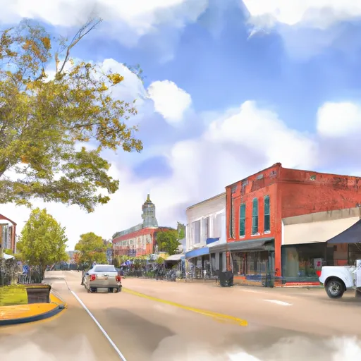
Magnolia, Mississippi, located in the southern United States, experiences a humid subtropical climate. Summers are hot and humid with temperatures averaging around 90°F (32°C), while winters are relatively mild with average temperatures around 50°F (10°C). The region receives abundant rainfall throughout the year, with an annual average of 60 inches (152 cm).
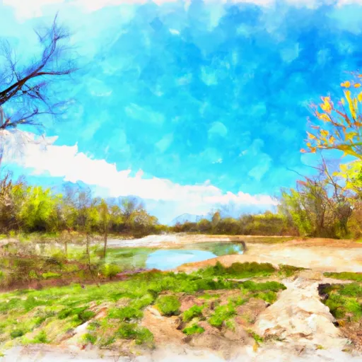
Magnolia is blessed with an extensive hydrology system, including several rivers and creeks. The Tangipahoa River flows through the area, offering opportunities for fishing, boating, and kayaking. The river's diverse ecosystem supports a variety of fish species, making it a popular spot for anglers. Additionally, residents and visitors can explore the local waterways by taking a leisurely canoe trip or enjoying a picnic along the riverbanks.
Outdoor enthusiasts can also explore the nearby Percy Quin State Park, which offers a range of activities such as hiking, camping, and birdwatching. The park features a picturesque lake where visitors can fish for bass, bream, and catfish. The surrounding forested areas provide opportunities for wildlife spotting and nature photography.
In conclusion, Magnolia, Mississippi, boasts a humid subtropical climate, abundant rainfall, and a vibrant hydrology system. Its proximity to the Tangipahoa River and Percy Quin State Park offers ample opportunities for outdoor recreation, making it an appealing destination for nature lovers.
Weather Forecast
Magnolia receives approximately 1625mm of rain per year, with humidity levels near 85% and air temperatures averaging around 19°C. Magnolia has a plant hardyness factor of 8, meaning plants and agriculture in this region tend to thrive here all year round.
Regional Streamflow Levels
218
Cubic Feet Per Second
1,390
Cubic Feet Per Second
1,690
Cubic Feet Per Second
182
Cubic Feet Per Second
Nearby Camping
| Camping Area | Reservations | Toilets | Showers |
|---|---|---|---|
| Tickfaw State Park | |||
| Greenville - Lake Wappapello | |||
| Mississippi Petrified Forest | |||
| St. Francois State Park | |||
| Pere Marquette State Park | |||
| Percy Quin State Park |


