°F
°F
mph
Windspeed
%
Humidity


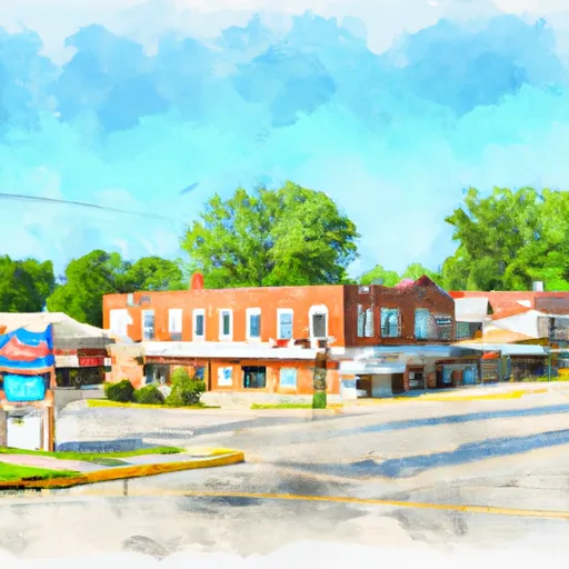
Miller, Missouri is a small town located in the southwestern part of the state. The climate in Miller is characterized by hot summers and mild winters. The average high temperature in the summer months is around 90°F (32°C), while winter temperatures average around 40°F (4°C). The area receives moderate rainfall throughout the year, with the wettest months being May and June.
Miller is situated in an area abundant with natural water resources. The town is surrounded by several lakes and rivers, including the nearby Sac River and Stockton Lake. These water bodies provide a variety of recreational opportunities such as boating, fishing, and swimming. Fishing enthusiasts can expect to find a wide range of fish species, including largemouth bass, crappie, and catfish.
In addition to its hydrology constituents, Miller offers various outdoor recreation opportunities. The area is blessed with lush forests and scenic landscapes, making it ideal for activities such as hiking, camping, and wildlife watching. The nearby Sac River Trail provides a picturesque path for hikers and bikers to explore the natural beauty of the region.
Overall, Miller, Missouri offers a pleasant climate, abundant water resources, and ample opportunities for outdoor recreation, making it an attractive destination for nature lovers and outdoor enthusiasts.
Weather Forecast
Miller receives approximately 1144mm of rain per year, with humidity levels near 81% and air temperatures averaging around 13°C. Miller has a plant hardyness factor of 6, meaning plants and agriculture in this region thrive during a short period during spring and early summer. Most plants will die off during the colder winter months.
Regional Streamflow Levels
34
Cubic Feet Per Second
361
Cubic Feet Per Second
66
Cubic Feet Per Second
63
Cubic Feet Per Second
Nearby Camping
| Camping Area | Reservations | Toilets | Showers |
|---|---|---|---|
| Rock Creek - Lake Greeson | |||
| Cowhide Cove - Lake Greeson | |||
| Daisy State Park | |||
| Dam Area - Lake Greeson | |||
| Laurel Creek - Lake Greeson | |||
| Crater of Diamonds State Park |


