

-
 Snoflo Premium
Get unlimited access to all our content
With no Ad interruptions! - Start Your Free Trial Login with existing account
Siler
Eden Index
Climate
7.9
•
Recreation
2.5
•
Community
0.9
•
Safeguard
4.3/10
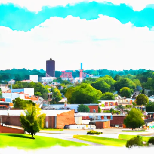
Siler, Kentucky is a small community located in Whitley County in the southeastern part of the state. The climate in Siler is classified as humid subtropical, characterized by hot and humid summers, and mild to cool winters. The average annual temperature is around 58°F, with July being the warmest month and January the coldest.
Hydrologically, Siler is part of the Cumberland River watershed, with several streams and creeks flowing through the area. The Cumberland River itself, a major waterway in the region, is not far from Siler and offers fishing and boating opportunities.
Outdoor recreation is plentiful in Siler and its surrounding areas. The nearby Daniel Boone National Forest provides ample opportunities for hiking, camping, and wildlife viewing. Laurel River Lake, located within the national forest, offers water sports such as swimming, boating, and fishing. Additionally, the Cumberland Falls State Resort Park is a short drive away, where visitors can enjoy hiking trails, picnicking, and the spectacular view of the Cumberland Falls, known as the "Niagara of the South."
In summary, Siler, Kentucky experiences a humid subtropical climate, with a range of outdoor recreational activities available thanks to its proximity to the Cumberland River watershed, Daniel Boone National Forest, and Cumberland Falls State Resort Park.
What is the Eden Index?
The Snoflo Eden Index serves as a comprehensive rating system for regions, evaluating their desirability through a holistic assessment of climate health, outdoor recreation opportunities, and natural disaster risk, acknowledging the profound impact of these factors on livability and well-being.
Climate Health Indicator (CHI): 7.9
Siler receives approximately
1298mm of rain per year,
with humidity levels near 81%
and air temperatures averaging around
13°C.
Siler has a plant hardyness factor of
6, meaning
plants and agriculture in this region thrive during a short period during spring and early summer. Most
plants will die off during the colder winter months.
By considering the ideal temperature range, reliable water supplies, clean air, and stable seasonal rain or snowpacks, the Climate Health Indicator (CHI) underscores the significance of a healthy climate as the foundation for quality living.
A healthy climate is paramount for ensuring a high quality of life and livability in a region, fostering both physical well-being and environmental harmony. This can be characterized by ideal temperatures, reliable access to water supplies, clean air, and consistent seasonal rain or snowpacks.
Weather Forecast
Streamflow Conditions
Upper Cumberland
Area Rivers
Upper Cumberland
Snowpack Depths
Upper Cumberland
Reservoir Storage Capacity
Upper Cumberland
Groundwater Levels
Recreational Opportunity Index (ROI): 2.5
The Recreational Opportunity Index (ROI) recognizes the value of outdoor recreational options, such as parks, hiking trails, camping sites, and fishing spots, while acknowledging that climate plays a pivotal role in ensuring the comfort and consistency of these experiences.
Access to outdoor recreational opportunities, encompassing activities such as parks, hiking, camping, and fishing, is crucial for overall well-being, and the climate plays a pivotal role in enabling and enhancing these experiences, ensuring that individuals can engage in nature-based activities comfortably and consistently.
Camping Areas
| Campground | Campsites | Reservations | Toilets | Showers | Elevation |
|---|---|---|---|---|---|
| Lake Winfield Scott | 44 | 2,979 ft | |||
| Vogel State Park | None | 2,323 ft | |||
| Low Gap Creek | 13 | 1,792 ft | |||
| Dockery Lake | 18 | 2,416 ft | |||
| Mulky | 11 | 2,172 ft | |||
| Deep Hole | 18 | 1,993 ft | |||
| Boggs Creek | 31 | 1,798 ft | |||
| Desoto Falls | 44 | 2,195 ft | |||
| Frank Gross | 9 | 2,356 ft | |||
| Cooper Creek | 17 | 2,164 ft |
Nearby Ski Areas
Catastrophe Safeguard Index (CSI):
The Catastrophe Safeguard Index (CSI) recognizes that natural disaster risk, encompassing floods, fires, hurricanes, and tornadoes, can drastically affect safety and the overall appeal of an area.
The level of natural disaster risk in a region significantly affects safety and the overall livability, with climate change amplifying these risks by potentially increasing the frequency and intensity of events like floods, fires, hurricanes, and tornadoes, thereby posing substantial challenges to community resilience and well-being.
Community Resilience Indicator (CRI): 0.9
The Community Resilience Indicator (CRI) recognizes that education, healthcare, and socioeconomics are crucial to the well-being of a region. The CRI acknowledges the profound impact of these elements on residents' overall quality of life. By evaluating educational resources, healthcare accessibility, and economic inclusivity, the index captures the essential aspects that contribute to a thriving community, fostering resident satisfaction, equity, and social cohesion.