°F
°F
mph
Windspeed
%
Humidity


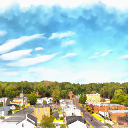
Staffordsville is a small town located in Giles County, Virginia. The town experiences a humid subtropical climate characterized by mild winters and hot, humid summers. Average temperatures range from around 30°F (-1°C) in winter to 85°F (29°C) in summer, with July being the warmest month. Rainfall is fairly evenly distributed throughout the year, with an annual average of around 40 inches (102 cm).
Hydrology constituents in Staffordsville are primarily influenced by the nearby New River. The New River is a major waterway that flows through the region, offering opportunities for various water-based activities such as fishing, kayaking, and boating. The river is teeming with smallmouth bass, muskellunge, and catfish, attracting fishing enthusiasts.
In addition to the New River, Staffordsville and its surrounding areas boast a variety of outdoor recreation opportunities. The Jefferson National Forest and the Appalachian Trail are located nearby, offering scenic hikes, camping, and the chance to explore nature's beauty. The region's rolling hills and picturesque landscapes also provide excellent opportunities for wildlife viewing, birdwatching, and photography. Staffordsville is an ideal destination for those seeking outdoor adventures and a close connection to nature.
Weather Forecast
Staffordsville receives approximately 1003mm of rain per year, with humidity levels near 83% and air temperatures averaging around 12°C. Staffordsville has a plant hardyness factor of 6, meaning plants and agriculture in this region thrive during a short period during spring and early summer. Most plants will die off during the colder winter months.
Regional Streamflow Levels
1,380
Cubic Feet Per Second
11,900
Cubic Feet Per Second
1,640
Cubic Feet Per Second
137
Cubic Feet Per Second
Nearby Camping
| Camping Area | Reservations | Toilets | Showers |
|---|---|---|---|
| Walnut Flats | |||
| Battle Run | |||
| Shanklins Ferry - Bluestone WMA | |||
| Gentrys Landing | |||
| Claytor Lake State Park | |||
| Keatley - Bluestone WMA |


