°F
°F
mph
Windspeed
%
Humidity


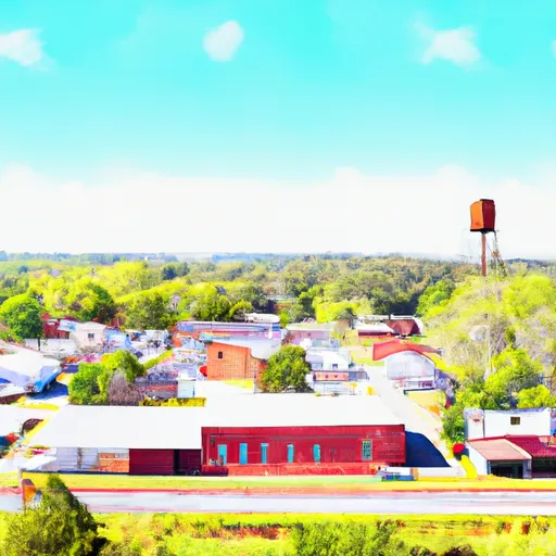
Stanton, Alabama is a small town located in Chilton County in the southeastern United States. The climate in Stanton is categorized as humid subtropical, characterized by mild winters and hot, humid summers. The average temperature in summer ranges from the high 80s to low 90s Fahrenheit, while winter temperatures range from the mid to high 30s.
Hydrology constituents in Stanton mainly revolve around the Mulberry Fork of the Black Warrior River, which flows through the town. The river serves as a vital water source for both the local population and surrounding areas, supporting recreational activities such as fishing, boating, and swimming. Additionally, the Mulberry Fork provides a picturesque backdrop for picnicking and leisurely walks along its banks.
Outdoor recreation opportunities in Stanton abound, with the area being known for its natural beauty. The nearby Mulberry Fork Wildlife Management Area offers opportunities for hunting, camping, and wildlife observation. Additionally, there are hiking and biking trails in the vicinity, allowing visitors to explore the scenic surroundings of Stanton. The town's close proximity to the river and surrounding forests provides residents and visitors alike with ample opportunities to engage in outdoor activities and enjoy nature's offerings.
Weather Forecast
Stanton receives approximately 1396mm of rain per year, with humidity levels near 86% and air temperatures averaging around 18°C. Stanton has a plant hardyness factor of 8, meaning plants and agriculture in this region tend to thrive here all year round.
Regional Streamflow Levels
373
Cubic Feet Per Second
254
Cubic Feet Per Second
487
Cubic Feet Per Second
35
Cubic Feet Per Second
Nearby Camping
| Camping Area | Reservations | Toilets | Showers |
|---|---|---|---|
| Brierfield Ironworks Historical Park | |||
| Blackwater River State Park | |||
| Paul M Grist State Park | |||
| Elm Bluff - William Dannelly Reservoir | |||
| Jones Bluff | |||
| Prairie Creek |


