Walthall

Climate Recreation Community Catastrophe

Walthall
Eden Index

Climate 7.5 Recreation 1.8 Community Safeguard

3.6/10

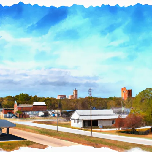
Walthall is a small town located in Webster County, Mississippi. It experiences a humid subtropical climate, characterized by hot and humid summers, and mild winters. The average temperature ranges from 40°F (4°C) in winter to 90°F (32°C) in summer. Rainfall is evenly distributed throughout the year, with an annual average of around 55 inches.

The town is situated near the Tombigbee River, which contributes to its hydrology constituents. This river is known for its diverse fish population, including largemouth bass, crappie, and catfish, attracting fishing enthusiasts.

Outdoor recreation opportunities in Walthall are abundant. The nearby Choctaw Wildlife Management Area offers hunting opportunities for deer, turkey, and small game. The Tombigbee National Forest, located to the west, provides opportunities for hiking, camping, and birdwatching. Additionally, the Noxubee National Wildlife Refuge, located to the south, offers an array of recreational activities, including boating, fishing, hiking, and wildlife observation.

Overall, Walthall provides a favorable climate, access to water bodies, and various outdoor recreation opportunities, making it an attractive destination for nature lovers and outdoor enthusiasts.

What is the Eden Index?

The Snoflo Eden Index serves as a comprehensive rating system for regions, evaluating their desirability through a holistic assessment of climate health, outdoor recreation opportunities, and natural disaster risk, acknowledging the profound impact of these factors on livability and well-being.


Climate Health Indicator (CHI): 7.5


Walthall receives approximately 1437mm of rain per year, with humidity levels near 87% and air temperatures averaging around 17°C. Walthall has a plant hardyness factor of 8, meaning plants and agriculture in this region tend to thrive here all year round. By considering the ideal temperature range, reliable water supplies, clean air, and stable seasonal rain or snowpacks, the Climate Health Indicator (CHI) underscores the significance of a healthy climate as the foundation for quality living.

A healthy climate is paramount for ensuring a high quality of life and livability in a region, fostering both physical well-being and environmental harmony. This can be characterized by ideal temperatures, reliable access to water supplies, clean air, and consistent seasonal rain or snowpacks.


Weather Forecast


Streamflow Conditions

Big Black - Homochitto

Area Rivers

Big Black - Homochitto


Snowpack Depths

Big Black - Homochitto


Reservoir Storage Capacity

Big Black - Homochitto


Groundwater Levels


Recreational Opportunity Index (ROI): 1.8


The Recreational Opportunity Index (ROI) recognizes the value of outdoor recreational options, such as parks, hiking trails, camping sites, and fishing spots, while acknowledging that climate plays a pivotal role in ensuring the comfort and consistency of these experiences. Access to outdoor recreational opportunities, encompassing activities such as parks, hiking, camping, and fishing, is crucial for overall well-being, and the climate plays a pivotal role in enabling and enhancing these experiences, ensuring that individuals can engage in nature-based activities comfortably and consistently.


Camping Areas

Campground Campsites Reservations Toilets Showers Elevation
Lake Taylorville City Campground None 605 ft
Collins Park 25 1,212 ft
Coles Creek - Lake Carlyle 150 459 ft
Sherwood Forest None 625 ft
Langlade County Veterans Memorial Park None 1,660 ft
Pine Hills 13 460 ft
Little Black Creek Waterpark None 296 ft
Sylvania - Clark Lake 48 1,830 ft
Dells of the Eau Claire Park - Wausau 27 1,408 ft
Lac Vieux Desert 31 1,699 ft
Boulder - Lake Carlyle 90 457 ft
Trowbridge Falls Park 122 838 ft
Paul B Johnson State Park None 245 ft
Moodys Landing 7 135 ft
Ramsey Lake State Park 160 628 ft
Stannard Town Campground 12 1,131 ft
Jamison Town Park 18 823 ft
High Lake County Park 7 1,619 ft
Pyramid State Park 80 475 ft
Trail of Tears State Forest None 525 ft
Sangchris Lake State Park 185 586 ft
Woodford State Conservation Area None 472 ft
Buccaneer State Park 276 5 ft
Trail of Tears State Park None 441 ft
Turkey Bayou None 371 ft
Veterans Memorial Field - Portage None 784 ft
Chippewa Park 62 602 ft
Bond Falls Flowage 36 1,443 ft
Marion Lake 2 30 1,649 ft
Eldon Hazlet State Park 350 455 ft
Turkey Creek Water Park 22 434 ft
Ontonagon Township Park 56 613 ft
Flint Creek Waterpark 156 246 ft
Laurel Lake 12 1,634 ft
Marathon Lake 71 481 ft
Imp Lake 22 1,712 ft
Antigo Lake RV Park 13 1,490 ft
Airey Lake None 170 ft
Shields RV Military - Gulfport NCB None 26 ft
Dam West - Lake Carlyle 110 453 ft
Lake Walker Military - Camp Shelby None 239 ft
Big Creek Waterpark None 254 ft
Big Biloxi Rec Area 31 50 ft
McLeod Water Park None 22 ft
Lake Murphysboro State Park 75 403 ft
Washington County Lake State Conservation Area 150 503 ft
Lake De Pue City Park 25 466 ft
Marion Lake 1 9 1,640 ft

Catastrophe Safeguard Index (CSI):


The Catastrophe Safeguard Index (CSI) recognizes that natural disaster risk, encompassing floods, fires, hurricanes, and tornadoes, can drastically affect safety and the overall appeal of an area. The level of natural disaster risk in a region significantly affects safety and the overall livability, with climate change amplifying these risks by potentially increasing the frequency and intensity of events like floods, fires, hurricanes, and tornadoes, thereby posing substantial challenges to community resilience and well-being.


Community Resilience Indicator (CRI):


The Community Resilience Indicator (CRI) recognizes that education, healthcare, and socioeconomics are crucial to the well-being of a region. The CRI acknowledges the profound impact of these elements on residents' overall quality of life. By evaluating educational resources, healthcare accessibility, and economic inclusivity, the index captures the essential aspects that contribute to a thriving community, fostering resident satisfaction, equity, and social cohesion.


Log Your Visit

When was your last visit to ?

Add a Photo

How was it? How were conditions?

Rate the


Submit

Leave A Review


Submit

Upload an Image


Favorite Limit Reached