ANNA LAKE

Species Weather Hydrology


FISHING CALIFORNIA

Anna Lake


April 25, 2024

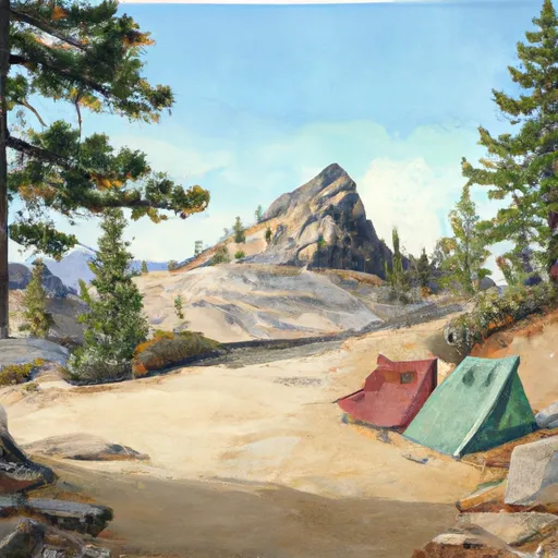
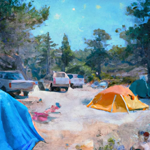
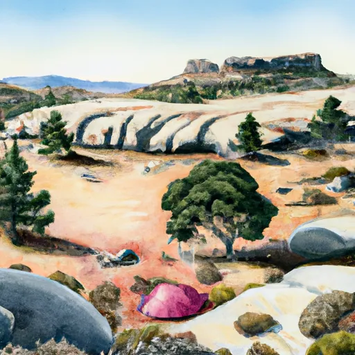
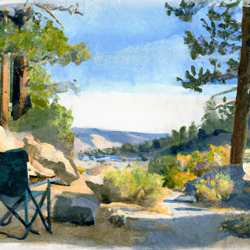
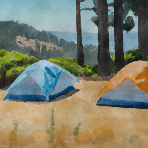
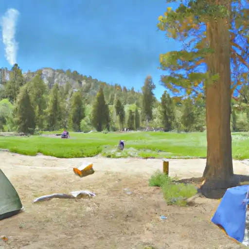
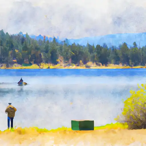
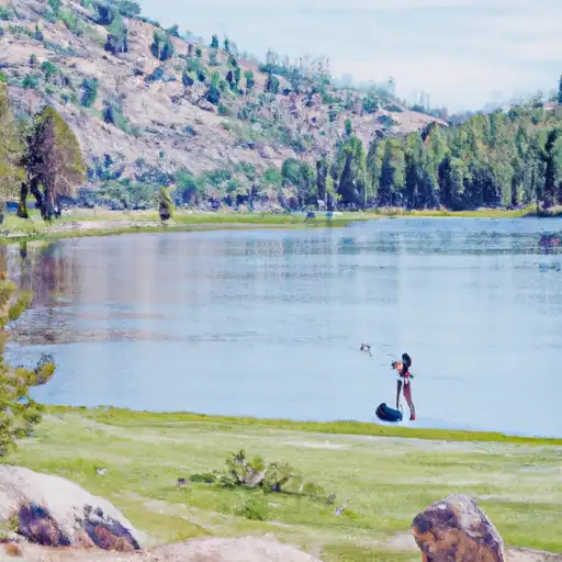
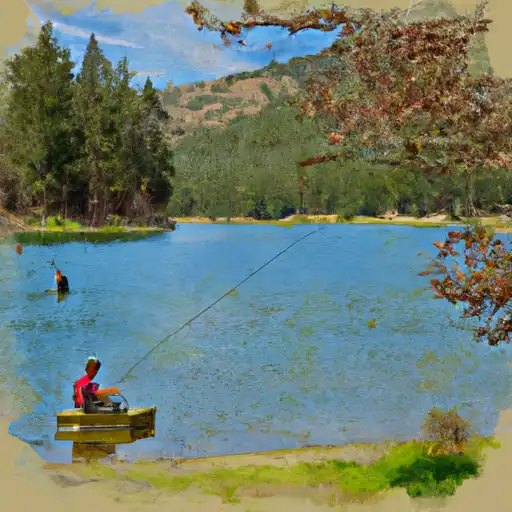
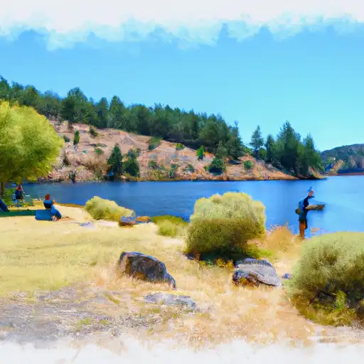
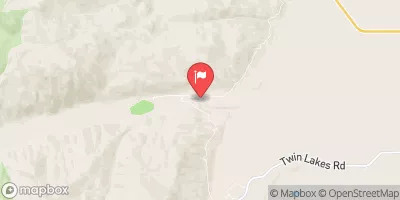
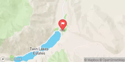
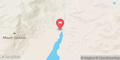
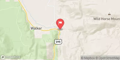
Anna Lake, located in northern California's Trinity Alps Wilderness, is a popular fishing destination for anglers seeking trout. The lake is stocked with rainbow trout and also home to brook and brown trout. Nearby activities include hiking, camping, and horseback riding in the surrounding wilderness area. To catch fish at Anna Lake, try using bait or lures that mimic the natural food sources for trout. The best time to visit is from late spring to early fall, with temperatures ranging from the mid-60s to mid-80s Fahrenheit.


Fish Species
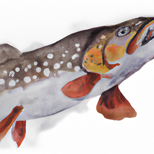
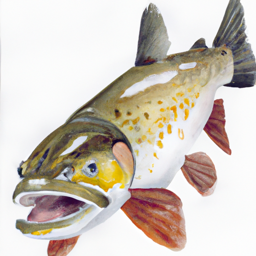
Image Alt Apache Trout
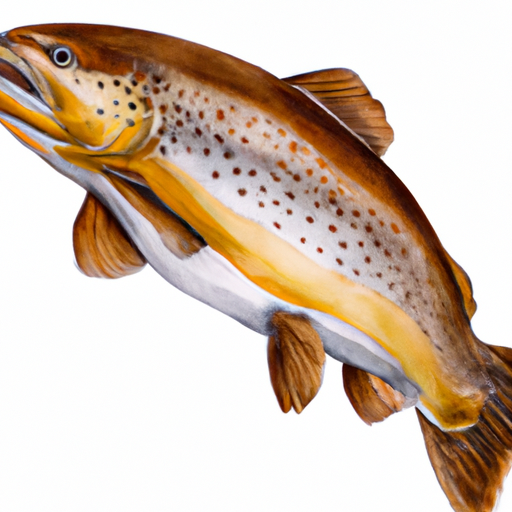
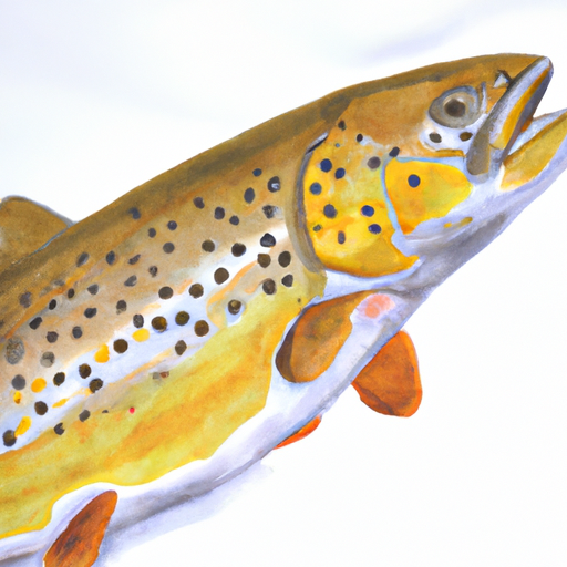
Image Alt Brown Trout
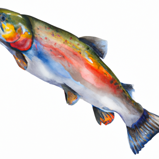
Image Alt Rainbow Trout

Weather Outlook


16 Day Long Term Forecast

Seasonal Comparison


Historical Data


Area Boat Ramps

RAMP ROAD MONO COUNTY
East Walker Watershed, California
GULL MEADOWS CAR TOP BOAT LAUNCH
Mono Lake Watershed, California
INDIAN CREEK CAMP GROUND DAY USE AREA
Upper Carson Watershed, California
FOREST ROUTE 1N04, GROVELAND
Upper Tuolumne Watershed, California
AMADOR COUNTY
South Fork American Watershed, California
MERALS POOL PUT-IN
Upper Tuolumne Watershed, California
NAVY BEACH PADDLE BOAT LAUNCH
Mono Lake Watershed, California
SUMMIT LAKE TRAIL ALPINE COUNTY
Upper Carson Watershed, California
TOPAZ PARK ROAD DOUGLAS COUNTY
West Walker Watershed, Nevada
FOREST ROUTE 1N10 TUOLUMNE COUNTY
Upper Tuolumne Watershed, California

Rafting & Kayaking

ELLICOTS BRIDGE TO BIG GRIZZLY CANYON
North Fork American Watershed, California
1/4 MILE NORTH OF STATE HIGHWAY 50 TO AVALANCHE LAKE
South Fork American Watershed, California
HEADWATERS TO SOUTH OF UPPER TRUCKEE ROAD (SEC LINE BETWEEN 17/20 INTERCEPTS RIVER AND UNNAMED TRIBUTARY)
Lake Tahoe Watershed, California
HEADWATERS TO TRAILHEAD
Truckee Watershed, California
HELL HOLE DAM TO ELLICOTTS BRIDGE
North Fork American Watershed, California
HEADWATERS SE 1/4 OF SEC 10, T18, R15E TO STAMPEDE RESERVOIR
Truckee Watershed, California
STATE HIGHWAY 50 TO 1/4 MILE NORTH OF STATE HIGHWAY 50
South Fork American Watershed, California
HEADWATERS IN SEC 2, T9N, R18E TO CONFLUENCE WITH MOKELUMNE RIVER
Upper Mokelumne Watershed, California
FRENCHMAN RESERVOIR TO NF BOUNDARY
Middle Fork Feather Watershed, Nevada
HEADWATERS IN SEC 7, T11N, R18E TO BLAIR BRIDGE
Lake Tahoe Watershed, California

Parks & Recreation


Blackwells Pond Park

Fritsch School Park

Mills Park

Carson River Park

Sonoma Park

Lone Mountain Park

Burton Creek State Park

Sunland Vista

Tahoe State Recreation Area

Governors Field


VALLEY VISITOR CENTER & THEATER
The Valley Visitor Center & Theater is an essential stop for visitors to California's Yosemite National Park. Here are some reasons why: 1. Helpful Information: The Visitor Center provides a ...
WASHBURN POINT
Washburn Point is one of the most popular lookout points in Yosemite National Park, California. It is located at an elevation of 7,385 feet and offers panoramic views of Yosemite ...
LEMBERT DOME
Lembert Dome is a breathtaking point of interest located in Tuolumne Meadows within Yosemite National Park, California. The dome is a granite rock formation towering over 8000 feet, and it's ...
POTHOLE DOME
Pothole Dome is a popular point of interest located in the Tuolumne Meadows region of Yosemite National Park in California. There are several good reasons to visit this scenic spot. ...
SOUTH TUFA
HERMIT VALLEY
HANGMANS BRIDGE
Hangman's Bridge, located in the Upper Carson watershed in California, is a historical landmark that is shrouded in mystery and legend. The bridge is believed to have been built in ...
PARSONS MEMORIAL LODGE
Located in the Sierra Nevada mountains in California, Parsons Memorial Lodge is a historic building that offers a glimpse into the history of Yosemite National Park. The lodge was built ...
DONNELL VISTA
WILSON CANYON
Wilson Canyon is located in the West Walker watershed of Nevada and is known for its picturesque scenery and unique geological formations. The canyon is an ideal location for hiking ...

Log Your Visit

When was your last visit to Anna Lake?

Add a Photo

How was it? How were conditions?

Rate the backcountry skiing


Submit

Leave A Review

Anna Lake

Submit

Upload an Image

Anna Lake

Favorite Limit Reached