PERRIS LAKE

Species Weather Hydrology


FISHING CALIFORNIA

Perris Lake


April 27, 2024

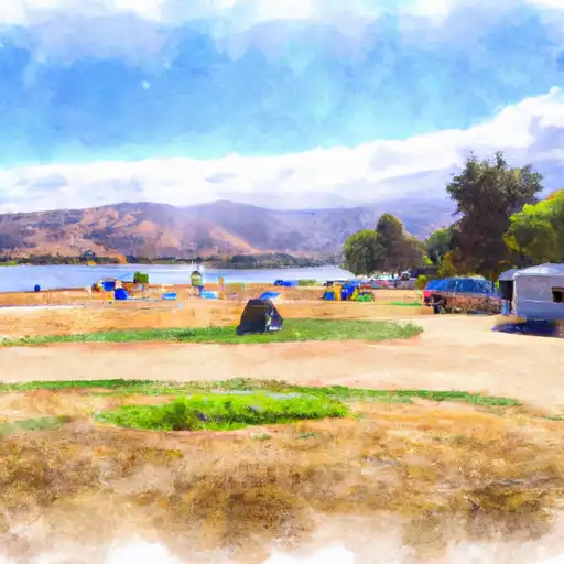
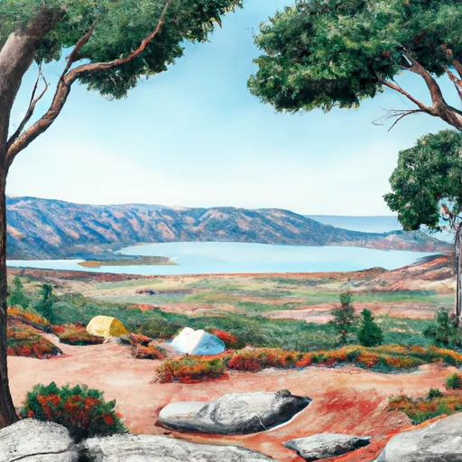
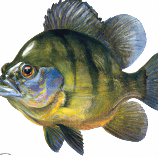
Perris Lake in California is a popular fishing destination, with a variety of fish species including largemouth and smallmouth bass, rainbow trout, catfish, bluegill, and crappie. Nearby activities include hiking and camping in the Perris State Recreation Area. Fishing tips include using live bait or lures that mimic the lake's natural prey. The best time of year to visit is during the spring and fall when the weather is mild and the fish are most active. Average temperatures range from 70-80 degrees Fahrenheit during these seasons.


Fish Species
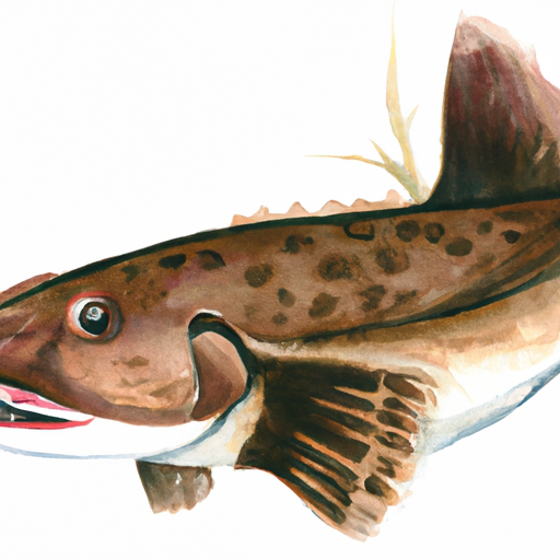
Image Alt Apache Trout
Image Alt Black Crappie
Image Alt Black Sea Bass
Image Alt Blue Catfish
Image Alt Bluegill
Image Alt Rainbow Trout
Image Alt Smallmouth Bass

Weather Outlook


16 Day Long Term Forecast

Seasonal Comparison


Historical Data


Area Boat Ramps

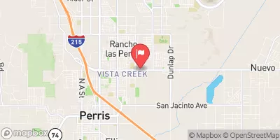
WARREN ROAD 37701, TEMECULA
Santa Margarita Watershed, California
HIGHWAY 76 26439, SANTA YSABEL
San Luis Rey-Escondido Watershed, California
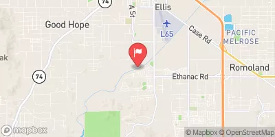
GOETZ ROAD RIVERSIDE COUNTY
San Jacinto Watershed, California
PACIFIC CREST TRAIL, HESPERIA
Mojave Watershed, California
VAIL LAKE BOAT RAMP
Santa Margarita Watershed, California
EUCALYPTUS PARK ROAD, SAN DIMAS
San Gabriel Watershed, California
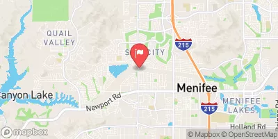
VACATION DRIVE 28736, CANYON LAKE
San Jacinto Watershed, California
LAKE HODGES BOAT LAUNCHING AREA
San Diego Watershed, California
ANGLERS LANDING, MOUNTAIN CENTER
San Jacinto Watershed, California
SUTHERLAND DAM ROAD 21568-21722, RAMONA
San Diego Watershed, California

Rafting & Kayaking

CONFLUENCE OF FRY AND IRON SPRING CREEKS (E1/2, SEC 3, T10S,R1E TO SE1/4 SEC 16, T10S, R2E
San Luis Rey-Escondido Watershed, California
MISSION CREEK
Salton Sea Watershed, California
SAN MATEO WILDERNESS BOUNDARY TO NF BOUNDARY WITH CAMP PENDLETON
Aliso-San Onofre Watershed, California
MISSION CREEK
Salton Sea Watershed, California
PALM CANYON
Salton Sea Watershed, California
FOREST BOUNDARY, ABOVE ZOO CREEK BELOW SPILLWAY (S1/2, SEC 3, T11S, R2E) TO LA JOLLA INDIAN RESERVATION BOUNDARY (N1/2, SEC 31, T10S, R2E)
San Luis Rey-Escondido Watershed, California
CROUCH RANCH TO MORENA RESERVOIR
Cottonwood-Tijuana Watershed, California
SANTA MARGARITA RIVER
Santa Margarita Watershed, California
DEVIL CANYON TRIBUTARY TO SAN MATEO CREEK
Aliso-San Onofre Watershed, California
SANTA MARGARITA RIVER
Santa Margarita Watershed, California

Parks & Recreation


Hollyvale Park

Lime Street Park/Community Center

Mendel Park

Hesperia Civic Plaza Park

Wilderness Pleasant View Ridge

Devils Punchbowl Park

Midway Park

Hesperia Community Park

Palm Street Park

Timberlane Park


AERIAL TRAMWAY UPPER TERMINAL MOUNTAIN STATION
The Aerial Tramway Upper Terminal Mountain Station is a popular tourist destination located in the San Jacinto Mountains of California. The station is accessible via the Palm Springs Aerial Tramway, ...
BAUTISTA CREEK - NATIONAL WILD & SCENIC RIVER
SAN JACINTO RIVER NORTH FORK - WILD & SCENIC RIVER
MOUNTAIN HOME VILLAGE SCENIC OVERLOOK
INDIAN VISTA SCENIC OVERLOOK
FULLER MILL CREEK - NATIONAL WILD & SCENIC RIVER
CHAPARRAL NEIGHBORHOODS NATIVE PLANT GARDEN
HENSHAW SCENIC VISTA OBSERVATION SITE
HEAPS PEAK ARBORETUM DAY USE AREA
RED ROCK SCENIC OVERLOOK

Log Your Visit

When was your last visit to Perris Lake?

Add a Photo

How was it? How were conditions?

Rate the backcountry skiing


Submit

Leave A Review

Perris Lake

Submit

Upload an Image

Perris Lake

Favorite Limit Reached