Summary
Commonly found fish species in the area include catfish, largemouth bass, bluegill, crappie, and carp. The nearby area offers a range of activities such as hiking, camping, and bird watching.
Fishing tips for the Spillway Fishing Site include using live bait for catfish and using artificial lures for bass and bluegill. Fishing during early morning or late evening is recommended for the best results. It is also important to note that the site is catch-and-release only.
The best time to visit the Spillway Fishing Site is during the spring and fall seasons, with average temperatures ranging from 60-70°F. During the summer months, temperatures can reach up to 90°F, making early morning or evening trips more comfortable. Overall, the Spillway Fishing Site is a great destination for anglers looking for a variety of fish and outdoor activities.
°F
°F
mph
Wind
%
Humidity
15-Day Weather Outlook
5-Day Hourly Forecast Detail
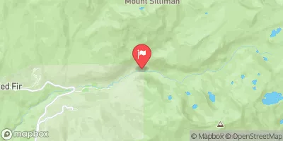
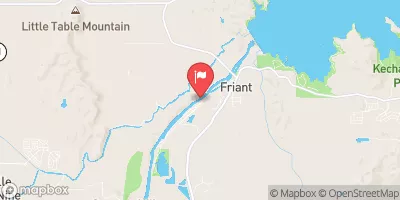
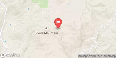
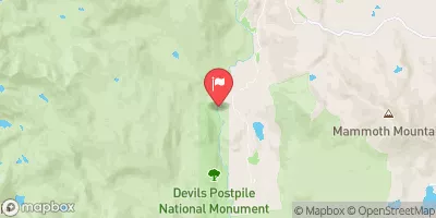
Nearby Streamflow Levels
Angling Safety Guidelines
Check local fishing rules, seasons, size limits, and license requirements to ensure legal and sustainable angling.
Handle Fish Responsibly
Use wet hands, minimize air exposure, and release fish gently to improve survival rates when practicing catch-and-release.
Choose the Right Gear
Match your rod, line, and tackle to the species and conditions to increase success and reduce unnecessary harm to fish.
Respect the Waterway
Avoid disturbing habitat, prevent bank erosion, and keep a safe distance from spawning areas to protect ecosystems.
Keep It Clean
Pack out all line, hooks, bait containers, and trash—discarded gear can injure wildlife and degrade waterways.
Related Links
Area Campgrounds
| Location | Reservations | Toilets |
|---|---|---|
 Lily Pad
|
||
 Lacy Camp
|
||
 Moore Boys Camp
|
||
 Sawmill Flat
|
||
 Buck Meadow
|
||
 Marmot Rock
|

 Wishon Reservoir
 Chimney Lake
 Old Pipe Lake
 Courtright Reservoir
 Scepter Lake
 Wishon Main