
Summary
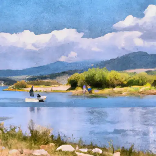
The area also offers hiking, camping, and mountain biking opportunities for visitors. Fishing tips include using bait or lures that mimic natural prey and fishing near rocky or shady areas. The best time to visit is during the spring and fall when temperatures range from 50-70°F, and the fish are most active. Summertime can also be great for fishing, but temperatures can exceed 90°F.
 Common Carp
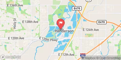
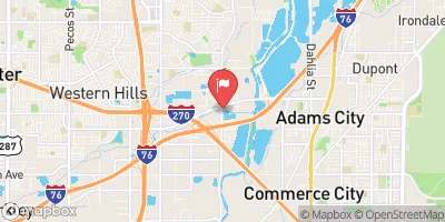
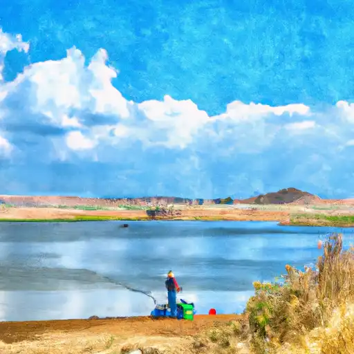 Talbott Irrigation Reservoir
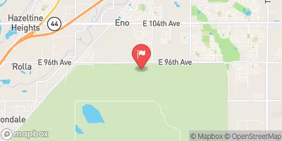
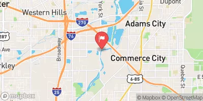
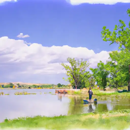 Adams County Fairground Lakes
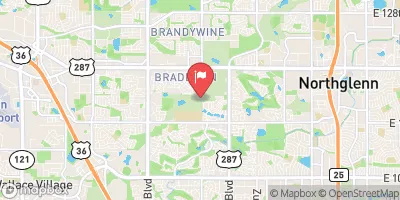
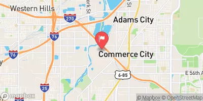
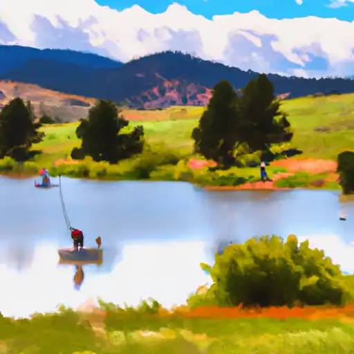 Hunters Glen Lake
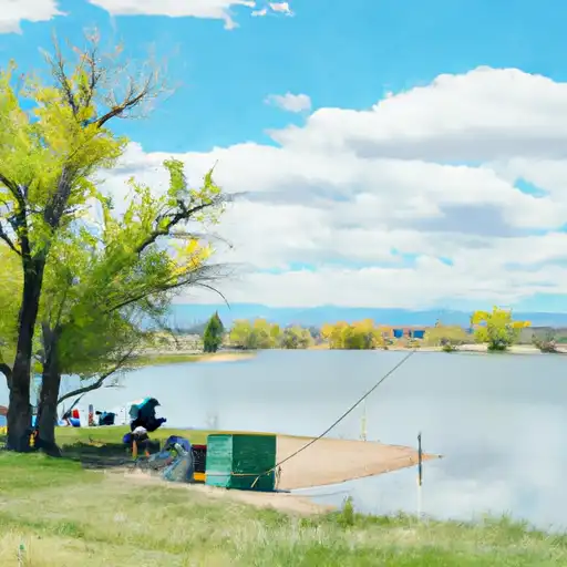 Thornton Rec Ctr Lake (Carpenter)
 Elaine T. Valente Open Space
Weather Forecast
Nearby Streamflow Levels
Angling Safety Guidelines
Check local fishing rules, seasons, size limits, and license requirements to ensure legal and sustainable angling.
Handle Fish Responsibly
Use wet hands, minimize air exposure, and release fish gently to improve survival rates when practicing catch-and-release.
Choose the Right Gear
Match your rod, line, and tackle to the species and conditions to increase success and reduce unnecessary harm to fish.
Respect the Waterway
Avoid disturbing habitat, prevent bank erosion, and keep a safe distance from spawning areas to protect ecosystems.
Keep It Clean
Pack out all line, hooks, bait containers, and trash—discarded gear can injure wildlife and degrade waterways.
 Marshall
 Brighton
 Northbrook Park
 Eagleview Park
 Park Ridge Village Park
 East Glen Park
 Woodglen Meadows Park