Summary
Best spots include the public fishing pier near the Port of Newport, South Jetty for shore anglers, and under the Yaquina Bay Bridge. Boat ramps at South Beach Marina provide deep-water access. Target species include rockfish, lingcod, greenling, surfperch, and seasonal Dungeness crab. Summer and early fall offer best action. Use sand shrimp, squid, or Berkley Gulp! for bottom species; crab snares or rings for crabbing. Check tides for best success, and observe all Oregon Marine regulations.
°F
°F
mph
Wind
%
Humidity
15-Day Weather Outlook
5-Day Hourly Forecast Detail
Nearby Streamflow Levels
 South Fork Coquille River At Powers
|
110cfs |
 Little Wolf Creek Near Tyee
|
3cfs |
 Umpqua River Near Elkton
|
1720cfs |
 North Umpqua River At Winchester
|
1290cfs |
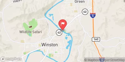 South Umpqua River Near Brockway
|
403cfs |
 West Fork Cow Creek Near Glendale
|
38cfs |
Angling Safety Guidelines
Check local fishing rules, seasons, size limits, and license requirements to ensure legal and sustainable angling.
Handle Fish Responsibly
Use wet hands, minimize air exposure, and release fish gently to improve survival rates when practicing catch-and-release.
Choose the Right Gear
Match your rod, line, and tackle to the species and conditions to increase success and reduce unnecessary harm to fish.
Respect the Waterway
Avoid disturbing habitat, prevent bank erosion, and keep a safe distance from spawning areas to protect ecosystems.
Keep It Clean
Pack out all line, hooks, bait containers, and trash—discarded gear can injure wildlife and degrade waterways.
Related Links
Area Campgrounds
| Location | Reservations | Toilets |
|---|---|---|
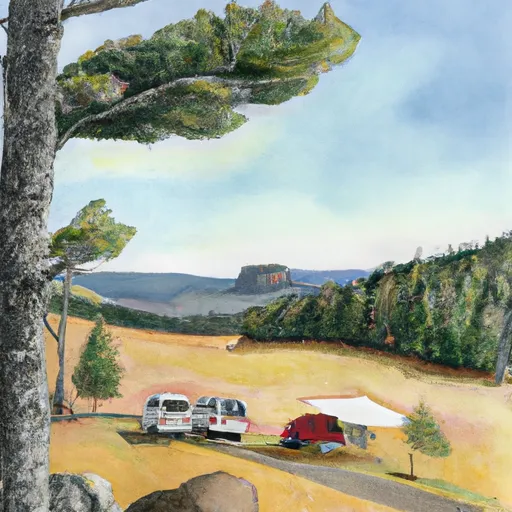 #69 & 70
|
||
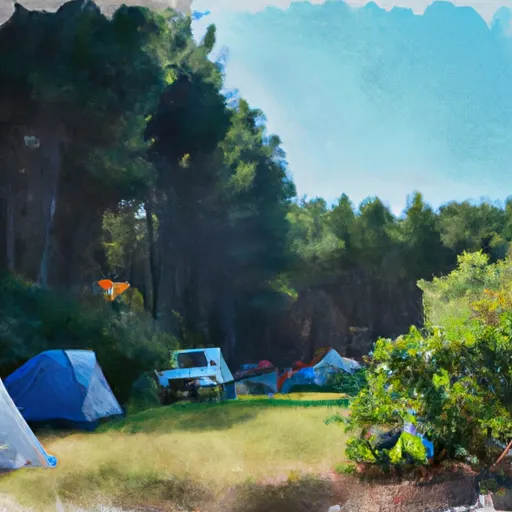 Bastendorff Campground
|
||
 Bluebill Campground
|

 Tarheel
 Holland Avenue, Coos Bay
 Yoakam Point State Natural Site
 Shore Acres State Park
 County Park
 Cape Arago State Park
 Barview State Wayside