Summary
The pond covers an area of 15 acres and has an average depth of 6 feet. It is located near the town of Marion and is easily accessible by car.
The most prevalent fish species in Lower Nebo Pond include largemouth bass, bluegill, and pumpkinseed sunfish. Bass weighing up to 5 pounds have been caught here, along with plenty of smaller fish for those seeking a quick catch.
Besides fishing, visitors to Lower Nebo Pond can enjoy a range of other activities, including hiking, birdwatching, and picnicking. The pond also has a boat ramp and is a great spot for kayaking and paddle boarding.
For those planning a fishing trip, it is best to visit Lower Nebo Pond in the spring and fall, when the weather is mild and fish are more active. The average temperature in the spring (April to June) is around 75°F, while in the fall (September to November) it is around 70°F.
Fishing tips for Lower Nebo Pond include using live bait such as worms or minnows, and fishing early in the morning or late in the evening when fish are more active. Topwater lures and spinnerbaits are also effective for catching bass.
Overall, Lower Nebo Pond is a great spot for fishing and outdoor recreation in South Carolina. With its diverse array of fish species and nearby activities, it is a must-visit for any angler or nature lover in the area.
°F
°F
mph
Wind
%
Humidity
15-Day Weather Outlook
5-Day Hourly Forecast Detail
Nearby Streamflow Levels
 Back River At Dupont Intake Nr Kittredge
|
3360cfs |
 Santee River Nr Jamestown
|
220cfs |
 Lake Moultrie Tailrace Canal At Moncks Corner
|
451cfs |
 Turkey Creek Near Maryville
|
2cfs |
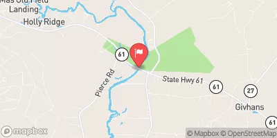 Edisto River Nr Givhans
|
1440cfs |
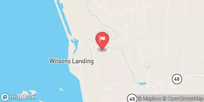 Santee River Near Pineville
|
698cfs |
Angling Safety Guidelines
Check local fishing rules, seasons, size limits, and license requirements to ensure legal and sustainable angling.
Handle Fish Responsibly
Use wet hands, minimize air exposure, and release fish gently to improve survival rates when practicing catch-and-release.
Choose the Right Gear
Match your rod, line, and tackle to the species and conditions to increase success and reduce unnecessary harm to fish.
Respect the Waterway
Avoid disturbing habitat, prevent bank erosion, and keep a safe distance from spawning areas to protect ecosystems.
Keep It Clean
Pack out all line, hooks, bait containers, and trash—discarded gear can injure wildlife and degrade waterways.
Related Links
Area Campgrounds
| Location | Reservations | Toilets |
|---|---|---|
 Halfway Creek Trail Camp
|
||
 Buck Hall Recreation Area
|
||
 Buckhall
|

 Upper Nebo Pond
 Middle Nebo Pond
 Willow Hall Pond
 Gator Pond
 Twin Ponds
 Radford Bates Dam
 National Wildlife Refuge Francis Marion
 Cape Romain Wilderness Area
 Wilderness Little Wambaw Swamp
 Palmetto Islands County Park
 Wilderness Wambaw Swamp