Summary
It is possible that the name has been changed or that the ramp is not a well-known destination. However, there are several other boat ramps located in Berkeley County that could potentially fit the description provided.
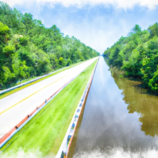
One possibility is the Bushy Park Boat Landing, located off of State Highway 402 in Goose Creek. This ramp is operated by the South Carolina Department of Natural Resources and provides access to the Cooper River. According to the department's website, the ramp is "two lanes wide with a courtesy dock" and can accommodate boats up to 30 feet in length. The website also states that all types of watercraft are allowed on the Cooper River, including motorized boats, canoes, and kayaks.
Another potential option is the Cypress Gardens Boat Ramp, also located on State Highway 402 in Moncks Corner. This ramp provides access to the Cypress Gardens Swamp, a popular destination for kayaking and canoeing. According to the Berkeley County website, the ramp is "wide enough for two boats to launch simultaneously" and is suitable for small to medium-sized watercraft.
Without more specific information about the boat ramp in question, it is difficult to provide a definitive answer about the type of ramp, its width, and the types of watercraft allowed. However, it is clear that there are several options for boat ramps in Berkeley County that provide access to a variety of bodies of water and types of watercraft.
°F
°F
mph
Wind
%
Humidity
15-Day Weather Outlook
Nearby Boat Launches
5-Day Hourly Forecast Detail
Area Streamflow Levels
| BACK RIVER AT DUPONT INTAKE NR KITTREDGE | 3360cfs |
| LAKE MOULTRIE TAILRACE CANAL AT MONCKS CORNER | 451cfs |
| SANTEE RIVER NR JAMESTOWN | 220cfs |
| SANTEE RIVER NEAR PINEVILLE | 698cfs |
| TURKEY CREEK NEAR MARYVILLE | 2cfs |
| EDISTO RIVER NR GIVHANS | 1440cfs |

 State Highway 402 Berkeley County
 Highway 402 To Old Santee Canal/Cooper River Confluence
 Headwaters To Santee River Confluence
 Headwater To Echaw Road
 Windom Corner Pond
 Jackie Pond
 Willow Hall Pond
 Bluebird Pond
 New Hope Pond