Summary
With an elevation of 4,239 feet (1,292 meters), it is one of the High Peaks in the region. This makes it a popular destination for both experienced mountaineers and avid hikers looking for a thrilling adventure. The mountain's size is notable, as it offers a substantial vertical gain and a moderate distance to the summit.
During the winter season, Big Slide experiences significant snowfall, making it a favorite among winter sports enthusiasts. The snowpack range varies depending on the year and prevailing weather conditions, but it is typically ample enough to facilitate cross-country skiing, snowshoeing, and even ice climbing. It is essential for visitors to be prepared with appropriate gear and have a good understanding of winter mountaineering techniques.
Big Slide has several creeks and rivers that receive runoff from its slopes. One notable example is the Phelps Brook, which flows down the western side of the mountain. This water source adds to the scenic beauty of the area and provides a refreshing stop for hikers during their ascent or descent.
Regarding the origin of its name, Big Slide has an interesting history. Legend has it that the mountain earned its name from a large landslide that occurred in the past, leaving a prominent scar on its slopes. While the accuracy of this tale may be difficult to verify, it adds an element of intrigue and wonder to the mountain's allure.
In conclusion, Big Slide in the Adirondack Mountains is a captivating and challenging peak with an elevation of 4,239 feet. It offers exciting winter mountaineering opportunities due to its significant snowpack range. With creeks and rivers like Phelps Brook running through its slopes, it presents stunning natural landscapes along the way. The origin of its name remains shrouded in fascinating legend and folklore. It is always advisable to confirm the details across multiple reliable sources to ensure accuracy and safety when planning a mountaineering adventure on Big Slide.
°F
°F
mph
Wind
%
Humidity
15-Day Weather Outlook
5-Day Hourly Forecast Detail
Regional Streamflow Levels
373
Cubic Feet Per Second
194
Cubic Feet Per Second
116
Cubic Feet Per Second
20
Cubic Feet Per Second
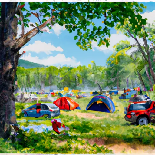
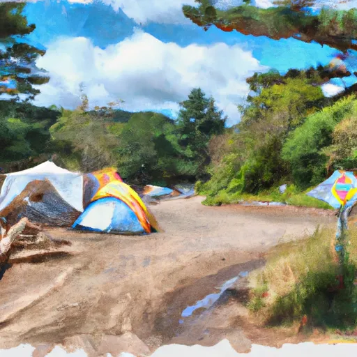
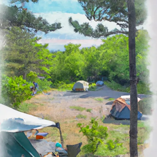
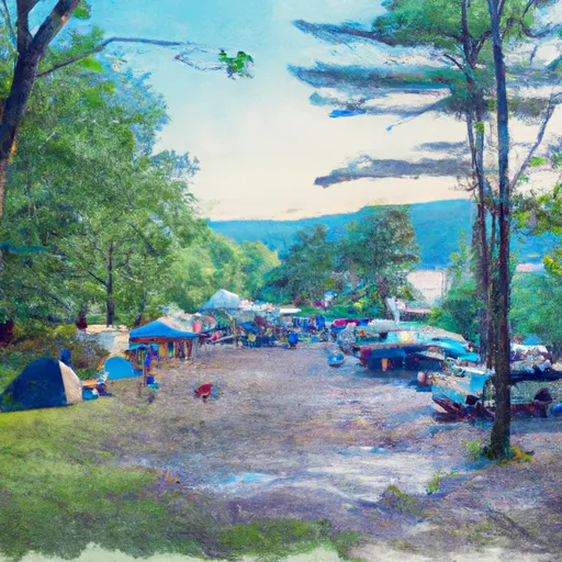
Area Campgrounds
| Location | Reservations | Toilets |
|---|---|---|
 Wilderness Campground at Heart Lake
|
||
 Sno-bird
|
||
 Gulf Brook Campsite #1
|
||
 Gulf Brook Campsite #2
|
||
 Wanika Falls campsite
|
||
 Lost Pond Campsite
|
