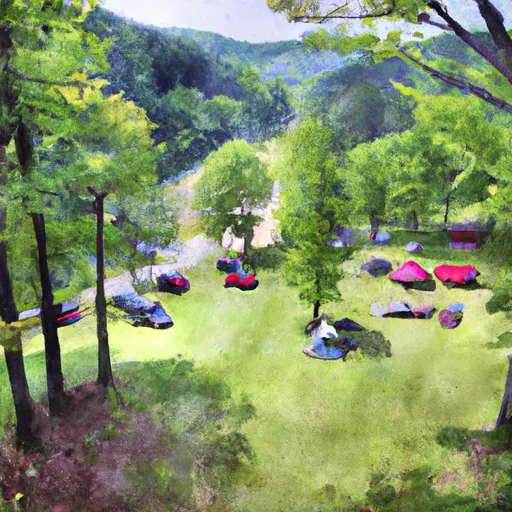
2026-02-24T00:00:00-05:00
* WHAT...Heavy snow expected. Total snow accumulations between 6 and 12 inches, with the highest amounts along the western facing slopes above 3,000 feet. The strongest winds are expected tonight through Monday with northwest winds gusting around 35 to 50 mph. * WHERE...In Maryland, Eastern Garrett and Western Garrett Counties. In Virginia, Western Highland County. In West Virginia, Western Grant and Western Pendleton Counties. * WHEN...Until midnight EST Monday Night. * IMPACTS...Visibilities may drop below 1/4 mile due to falling and blowing snow. The strong winds and weight of snow on tree limbs may down power lines and could cause sporadic power outages. Travel could be very difficult. The hazardous conditions could impact the Monday morning and evening commutes. Gusty winds could bring down tree branches.
Summary
Rising to an impressive elevation of 900 feet (274 meters) above the surrounding landscape, it is a popular destination for mountaineering enthusiasts. This sheer rock face offers challenging routes for climbers of all skill levels, attracting adventurers from far and wide. Additionally, the Seneca Rocks Visitor Center provides valuable information and resources for visitors, ensuring their safety and enjoyment.
During the winter season, Seneca Rocks experiences varying snowpack levels. The amount of snowfall can range from light to heavy, depending on the weather patterns. This snowpack creates a picturesque winter landscape, but climbers should be cautious of the potentially hazardous conditions it may cause. It is essential to check weather forecasts and avalanche conditions before embarking on any mountaineering activities in this region.
The mountain's runoff feeds into the nearby Seneca Creek, which flows through the picturesque Seneca Creek Backcountry. This pristine area is renowned for its natural beauty and offers opportunities for hiking and camping. The creek is a popular spot for fishing, with a variety of trout species inhabiting its waters.
The name "Seneca Rocks" has its roots in Native American folklore. According to legend, the rocks were named after an ancient Seneca Indian chief who sought refuge atop the formation during a battle with rival tribes. The chief and his followers were said to have escaped capture by descending the rocks using a hidden passage. Today, Seneca Rocks continues to captivate visitors with its rich history, breathtaking views, and challenging climbs, making it a must-visit destination for mountaineers and outdoor enthusiasts alike.
°F
°F
mph
Wind
%
Humidity
15-Day Weather Outlook
5-Day Hourly Forecast Detail
Regional Streamflow Levels
1,800
Cubic Feet Per Second
427
Cubic Feet Per Second
2,220
Cubic Feet Per Second
1,120
Cubic Feet Per Second
Area Campgrounds
| Location | Reservations | Toilets |
|---|---|---|
 Princess Snowbird Campground
|
||
 Seneca Shadows Campground
|
||
 Jess Judy Group Campground
|
||
 Scenic Campground
|
||
 Judy Springs
|
