Summary
It proudly stands at an elevation of approximately 4,063 feet (1,238 meters), making it one of the highest points in the region. This majestic mountain is part of the George Washington National Forest and offers breathtaking vistas of the surrounding landscape.
During the winter season, The Priest experiences a significant snowpack accumulation. The snowpack range can vary depending on the year and prevailing weather conditions. This makes it a popular destination for winter mountaineering and backcountry skiing enthusiasts, who relish the challenging terrain and stunning winter scenery.
The Priest is also notable for its hydrological significance. Several creeks and rivers receive runoff from the mountain, including the North Fork Tye River and Crabtree Falls, which are renowned for their natural beauty. These waterways provide a source of freshwater and contribute to the diverse ecosystem of the area.
The unique name of The Priest has an interesting origin. It is believed to have been named by early settlers due to its resemblance to a clergyman in a robe, standing tall and commanding respect. This mountain has also been associated with various legends and lore, adding to its mystique and allure. Exploring the history and rich heritage of The Priest is a captivating aspect for those who venture to its summit.
°F
°F
mph
Wind
%
Humidity
15-Day Weather Outlook
5-Day Hourly Forecast Detail
Regional Streamflow Levels
557
Cubic Feet Per Second
12,200
Cubic Feet Per Second
7,650
Cubic Feet Per Second
53
Cubic Feet Per Second
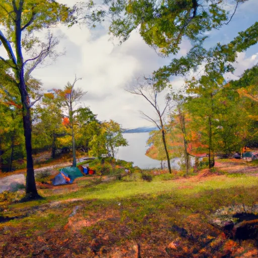
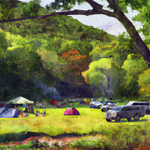
Area Campgrounds
| Location | Reservations | Toilets |
|---|---|---|
 Sherando Lake
|
||
 Sherando Lake Recreation Area
|
||
 Oronoco
|
