Summary
With its towering elevation and impressive size, it offers a thrilling challenge for mountaineers and outdoor enthusiasts alike.
Standing at an impressive elevation, Hardscrabble Peak reaches a height of approximately [insert elevation measurement here]. Its majestic presence dominates the landscape and offers breathtaking views from its summit. The mountain's substantial size and rugged terrain make it a popular destination for experienced climbers seeking a thrilling adventure.
During the winter season, Hardscrabble Peak experiences a diverse snowpack range due to its elevation and geographical location. The mountain's higher elevation areas receive a heavy snowfall, creating ideal conditions for winter sports enthusiasts, such as backcountry skiing and snowboarding. Lower elevation areas may experience less snow accumulation, allowing for year-round hiking and exploration.
Hardscrabble Peak contributes to the water resources of the surrounding area through its creeks and rivers. Specific waterways, such as [mention specific creeks or rivers here], receive runoff from the mountain, providing a vital source of water for nearby communities and wildlife.
Regarding its name and historical significance, Hardscrabble Peak's nomenclature reflects the challenging and rugged nature of the mountain. The name "Hardscrabble" symbolizes the difficulty encountered by early settlers and explorers in the region, who faced adversity while navigating the mountain's unforgiving terrain. While there may be interesting folklore or legends associated with the mountain, further research across multiple independent sources is recommended to accurately explore these aspects.
Hourly Weather Forecast
Regional Streamflow Levels
25
Cubic Feet Per Second
820
Cubic Feet Per Second
127
Cubic Feet Per Second
43
Cubic Feet Per Second
Area Campgrounds
| Location | Reservations | Toilets |
|---|---|---|
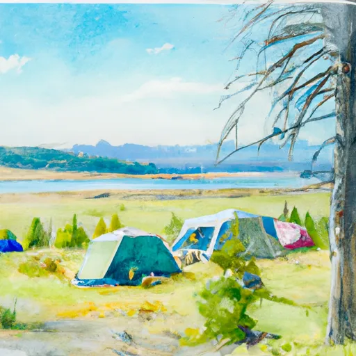 Fairy Lake Campground
|
||
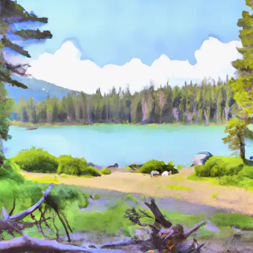 Fairy Lake
|
||
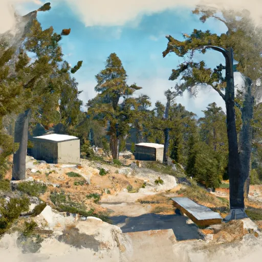 Battle Ridge Cabin
|
||
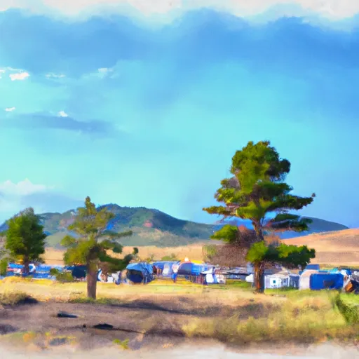 Battle Ridge Campground
|
||
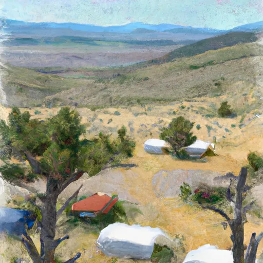 Battle Ridge
|

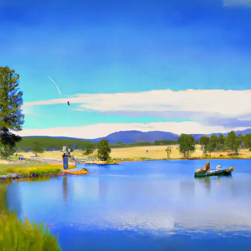 Fairy Pond
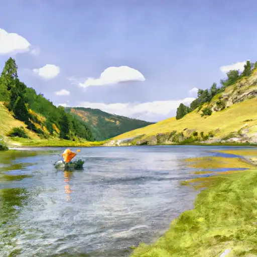 Green Canyon Creek
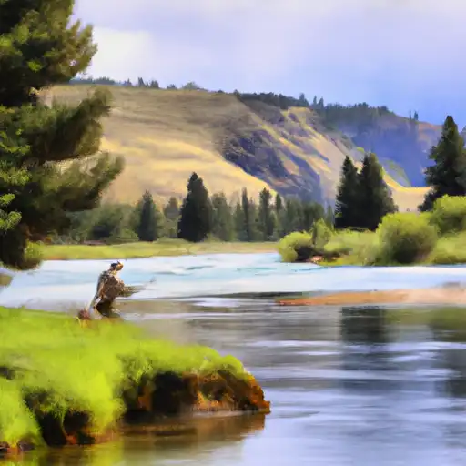 East Gallatin River
 Hyalite Creek