2026-02-23T01:00:00-05:00
* WHAT...Lake effect snow. Additional snow accumulations up to 4 inches, highest north of Houghton along US-41 and in Baraga County north and east of US-41. Winds gusting as high as 40 mph will create areas of blowing snow along the north-facing Keweenaw shoreline. * WHERE...Baraga, Keweenaw, and Northern Houghton Counties. * WHEN...Until 1 AM EST Monday. * IMPACTS...Travel could be very difficult at times. Areas of blowing snow will significantly reduce visibility. * ADDITIONAL DETAILS...Areas of blowing snow will be possible this afternoon and evening, especially under the heavier snow bands. This will result in rapidly changing visibilities over short distances.
Summary
With an elevation of 1,979 feet (603 meters), it offers a unique mountaineering experience in the relatively flat Great Lakes region. Despite its modest height, Mount Arvon provides breathtaking panoramic views of the surrounding forests and lakes.
During the winter season, Mount Arvon experiences a typical snowpack range for the region. Snowfall averages around 200 inches annually, creating ideal conditions for winter sports enthusiasts such as snowshoeing and cross-country skiing. The deep snow cover and peaceful atmosphere make it a popular destination for those seeking solitude in nature.
Mount Arvon is surrounded by several creeks and rivers, including the Huron River, which receives runoff from the mountain. These waterways not only enhance the scenic beauty of the area but also provide opportunities for fishing and other water-related activities.
The name "Arvon" is believed to be of Welsh origin, although its exact meaning is uncertain. The mountain holds significance for the Ojibwa Native Americans, who consider it to be a sacred place. According to local lore, it is said that the spirit of a young Ojibwa maiden named Arvon still wanders the mountain, making it a mystical and intriguing destination for explorers.
In summary, Mount Arvon is the highest point in Michigan and offers stunning views of the surrounding landscape. With its diverse snowpack range during winter, nearby creeks and rivers, and intriguing legends, it is a must-visit destination for outdoor enthusiasts and those seeking a unique mountaineering experience in the North American Plains.
°F
°F
mph
Wind
%
Humidity

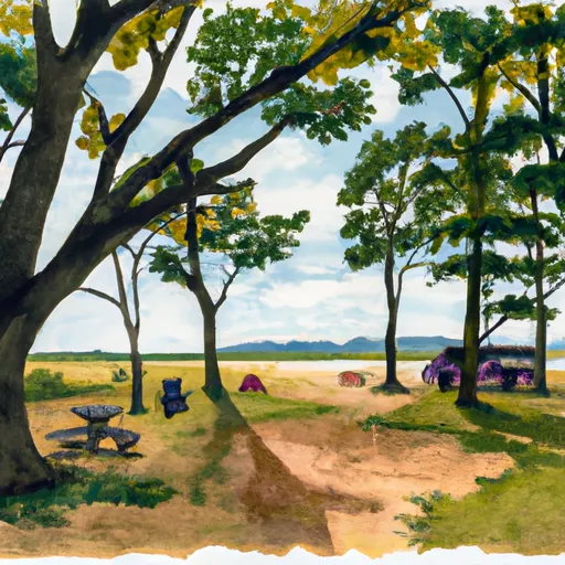
 Big Eric's Bridge State Forest Campground
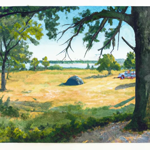
 Craig Lake State Park Site 15
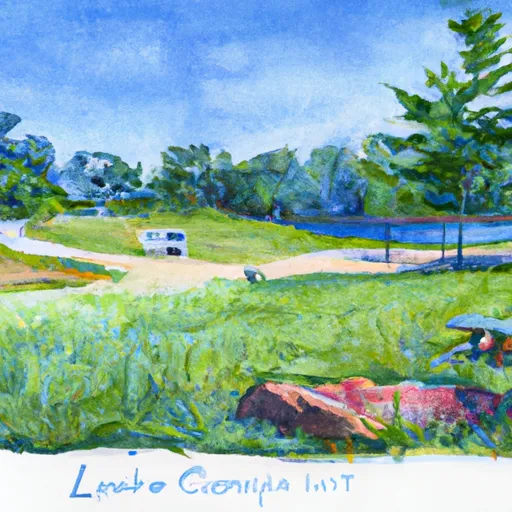
 Craig Lake State Park Site 1
 Craig Lake State Park Site 16
 Craig Lake State Park Site 2
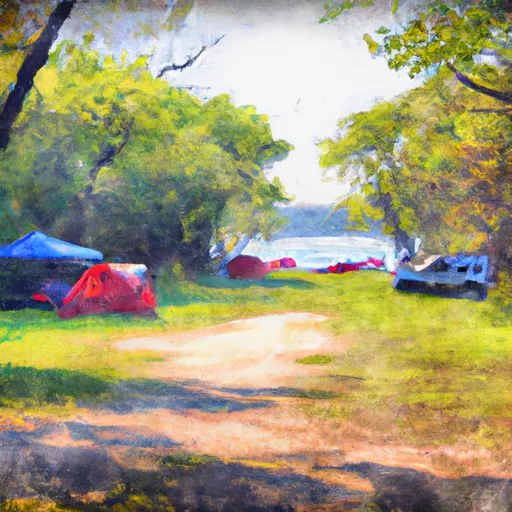
 Witzs Marina & Campsites