Make an Announcement

Communicate warnings, disperse advice, and share.


MOUNT MAGAZINE

Mountains and Summits


North American Plains Ozark Highlands

Mount Magazine

2,753 ft

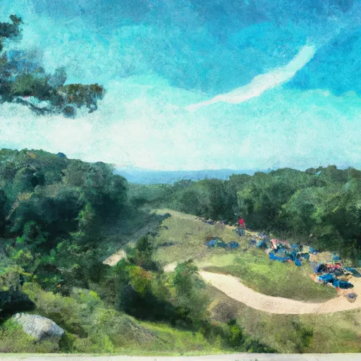
Mount Magazine is the highest point in the North American Plains mountain range, located in Arkansas, United States. Standing at an elevation of 2,753 feet, it offers breathtaking panoramic views of the surrounding landscape. This mountain covers an impressive area of approximately 2,234 acres, making it a popular destination for mountaineering enthusiasts.

During the winter season, Mount Magazine experiences a diverse snowpack range. On average, it receives about 10-15 inches of snowfall, creating a winter wonderland for outdoor activities such as snowshoeing and cross-country skiing. However, the snowpack can vary significantly depending on weather patterns, with particularly snowy years seeing depths of up to 2-3 feet.

Several creeks and rivers benefit from the runoff generated by Mount Magazine. The Petit Jean River and the Dardanelle Reservoir are two notable water bodies that receive water from the mountain, contributing to the region's freshwater resources.

The name "Mount Magazine" has an interesting history, with various theories surrounding its origin. One legend suggests that French explorers named the mountain "La Montagne," meaning "the mountain" in French, which eventually evolved into "Mount Magazine." Another theory suggests that the name is derived from the French word "magasin," meaning "storehouse," as the mountain was believed to be a hiding place for pirates' treasure in the past. Regardless of its origins, Mount Magazine continues to captivate visitors with its awe-inspiring beauty and rich history.


Outdoor Recreation

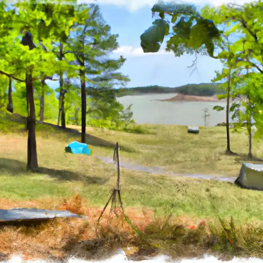
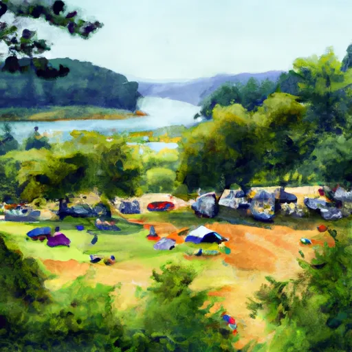
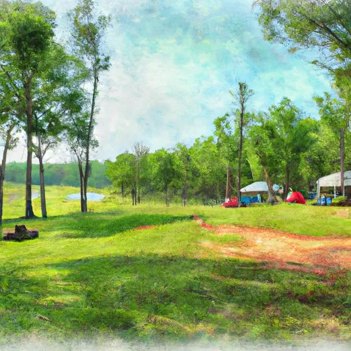
Campground Campsites Reservations Toilets Showers Elevation
Fair City RV Park 100 317 ft
Horsehead Lake 80 692 ft
Converse Bay Rec Area - Toledo Bend Lake None 231 ft
Dragover 7 741 ft
Sparrowfoot - Harry S. Truman Lake None 731 ft
River Bluff 5 616 ft
Allens Ferry at Little River None 261 ft
Viney Creek None 930 ft
Cedar Ridge - Stockton Lake None 905 ft
Ruark Bluff - Stockton Lake None 1,001 ft
Cameron Bluff 18 2,553 ft
Laurel Creek - Lake Greeson None 582 ft
Arrowhead Point 23 582 ft
Osceola RV Park 48 732 ft
Barksdale AFB Military None 160 ft
Cowhide Cove - Lake Greeson None 542 ft
Washita - Lake Ouachita None 600 ft
Stockton State Park None 910 ft
Joe Bald - Table Rock Lake None 948 ft
Bucksaw - Harry S. Truman Lake None 738 ft
Spadra - Lake Dardanelle None 360 ft
Twin Creek - Lake Ouachita 15 590 ft
Wolf Pen 21 905 ft
Big Bay - Table Rock Lake 61 1,022 ft
Cape Fair - Table Rock Lake None 966 ft
Crystal 9 972 ft
Big Brushy 9 938 ft
Cove Lake Complex 96 1,034 ft
Withrow Springs State Park None 1,399 ft
Star of the West - Lake Greeson 21 575 ft
Citadel Bluff 25 416 ft
Dam Area - Lake Greeson None 431 ft
Tompkins Bend - Lake Ouachita 77 603 ft
Daisy State Park None 592 ft
Mutton Creek Park - Stockton Lake 100 937 ft
Waveland - Blue Mountain Lake 51 430 ft
Dam Site Lake - Beaver Lake 48 1,123 ft
Berry Bend - Harry S. Truman Lake None 850 ft
Parker Creek - Lake Greeson None 684 ft
Denby Point - Lake Ouachita 67 655 ft
South Abutment East 12 177 ft
Self Creek - Lake Greeson None 543 ft
Joplin - Lake Ouachita 64 592 ft
Teague Lake Primitive None 199 ft
Redding 25 739 ft
Buckhorn - Lake Greeson 0 583 ft
Little Fir - Lake Ouachita 29 602 ft
Highway 157 Primitive None 203 ft
Beaver Town Park 42 910 ft
Magazine Municipal RV Park 8 476 ft
Mount Magazine State Park None 2,429 ft
Crabtree Cove - Stockton Lake None 902 ft
Kirby Landing - Lake Greeson None 571 ft
Talley Bend - Harry S. Truman Lake None 822 ft
Roaring River State Park None 1,036 ft
Harry S Truman State Park None 864 ft
Orleans Trail North Park -Stockton Lake None 931 ft
Outlet Area - Blue Mountain Lake 30 410 ft
Baxter - Table Rock Lake None 941 ft
Long Shoal - Harry S. Truman Lake None 783 ft
Shoal Bay - Lake Dardanelle None 375 ft
Aunts Creek - Table Rock Lake None 998 ft
Orleans Trail South Park - Stockton Lake None 936 ft
Cane Creek - Lake Dardanelle 16 344 ft
Lake Leatherwood City Park None 1,046 ft
Viola - Table Rock Lake None 1,017 ft
Mill Creek - Table Rock Lake None 950 ft
Campbell Point - Table Rock Lake None 999 ft
Big M - Table Rock Lake None 924 ft
Aux Arc None 395 ft
South Fourche 15 454 ft
Ozone 28 1,825 ft
Shirley Creek 6 763 ft
Farrington City Park None 859 ft
Berryville RV Park 18 1,169 ft
Frank Anthony RV Park 30 242 ft
Harmon Lake Dam - Barksdale AFB 6 222 ft
Rock Creek - Lake Greeson None 560 ft
Fulton Branch 5 644 ft
Dam Site River - Beaver Lake 59 1,177 ft
Eagle Rock - Table Rock Lake None 988 ft
Highway 27 - Lake Ouachita None 593 ft
Cypress Black Bayou Rec Area None 207 ft
Hawker Point - Stockton Lake None 977 ft
Rocky Shoals 5 683 ft
Weaubleau City Park None 988 ft
Crater of Diamonds State Park None 339 ft
Pikeville - Lake Greeson 12 568 ft
Hervey Access Camping None 247 ft
Windsor Crossing - Harry S Truman Lake 47 745 ft
Ivan Lake 4 212 ft
Dogwood Drive - Lake Eufaula State Park None 499 ft
Ski Area Snowpack Air Temperature 5 Day Forecast
Snow Bluff 0" 60° 0"
River Run Streamflow Length Class

Log Your Visit

When was your last visit to ?

Add a Photo

How was it? How were conditions?

Rate the backcountry skiing


Submit

Leave A Review


Submit

Upload an Image


Favorite Limit Reached