Summary
Rising to an elevation of 2,571 feet (784 meters), it offers breathtaking panoramic views of the San Francisco Bay Area. Spanning an impressive area of around 25 square miles (65 square kilometers), this prominent landmark is a popular destination for hikers, bikers, and nature enthusiasts.
During the winter season, Mount Tamalpais experiences varying snowpack levels, largely influenced by its proximity to the coast. The snowpack range can vary each year and is heavily dependent on weather conditions. This variability allows for diverse winter activities, including snowshoeing and cross-country skiing, when conditions permit.
Several creeks and rivers receive runoff from the mountain, nourishing the surrounding ecosystem. Cataract Creek, Redwood Creek, and Lagunitas Creek are among the notable waterways that benefit from the mountain's runoff, providing crucial water sources for local flora and fauna.
The name "Tamalpais" has an interesting history, derived from the Coast Miwok language. It is believed to translate to "coastal mountain" or "west hill," reflecting the mountain's location near the Pacific Ocean. Mount Tamalpais holds significant cultural and spiritual importance to the Coast Miwok people and has been the subject of various legends and lore passed down through generations.
In conclusion, Mount Tamalpais stands as a majestic peak in the Pacific Ranges mountain range, offering stunning views, diverse recreational activities, and ecological significance. Its rich history and legends contribute to its allure, making it a cherished destination for both locals and visitors alike.
°F
°F
mph
Wind
%
Humidity
15-Day Weather Outlook
5-Day Hourly Forecast Detail
Regional Streamflow Levels
45
Cubic Feet Per Second
99
Cubic Feet Per Second
145
Cubic Feet Per Second
394
Cubic Feet Per Second
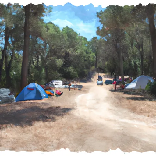
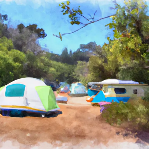
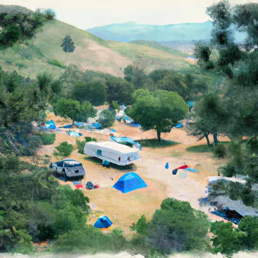
Area Campgrounds
| Location | Reservations | Toilets |
|---|---|---|
 Bootjack campground
|
||
 Pantoll campground
|
||
 Marin Park RV
|
||
 Rocky Point - Steep Ravine Campground
|
||
 STEEP RAVINE
|
||
 Free campground
|
