2026-02-24T22:00:00-08:00
* WHAT...Flooding caused by excessive rainfall continues to be possible. * WHERE...A portion of northwest California, including the following areas, Coastal Del Norte, Del Norte Interior, Mendocino Coast, Northeastern Mendocino Interior, Northern Humboldt Coast, Northern Humboldt Interior, Northern Trinity, Northwestern Mendocino Interior, Southern Humboldt Interior, Southern Trinity and Southwestern Humboldt. * WHEN...From Monday evening through Tuesday evening. * IMPACTS...There will be an increased risk of rock and land slides along roadways. Excessive runoff may result in flooding of rivers, creeks, streams, and other low-lying and flood-prone locations. * ADDITIONAL DETAILS... - A prolonged duration of moderate to heavy rain is expected. - http://www.weather.gov/safety/flood
Summary
It stands tall with an impressive elevation of over 10,000 feet (3,048 meters), making it a challenging and sought-after destination for mountaineers and outdoor enthusiasts. This majestic mountain offers breathtaking views of the surrounding landscapes, including lush forests, deep valleys, and other towering peaks.
During the winter season, Sawtooth Mountain receives substantial snowfall, blanketing its slopes with a thick snowpack. The snowpack range varies each year, but typically it can accumulate several feet of snow, providing excellent opportunities for winter sports such as skiing and snowboarding. The melting snow from the mountain's slopes feeds into several creeks and rivers in the surrounding area, contributing to their flow and creating a vital water source for the local ecosystem.
The name "Sawtooth" may be attributed to the jagged and serrated ridgeline that characterizes the mountain's appearance. This unique feature resembles the teeth of a saw, giving the peak its distinctive name. While the exact origins of any legends or lore surrounding Sawtooth Mountain are unclear, the mountain holds a special place in the hearts of many locals and mountaineers, who often share stories of their awe-inspiring experiences while conquering its challenging slopes.
°F
°F
mph
Wind
%
Humidity
15-Day Weather Outlook
5-Day Hourly Forecast Detail
Regional Streamflow Levels
5,170
Cubic Feet Per Second
41
Cubic Feet Per Second
5,820
Cubic Feet Per Second
270
Cubic Feet Per Second
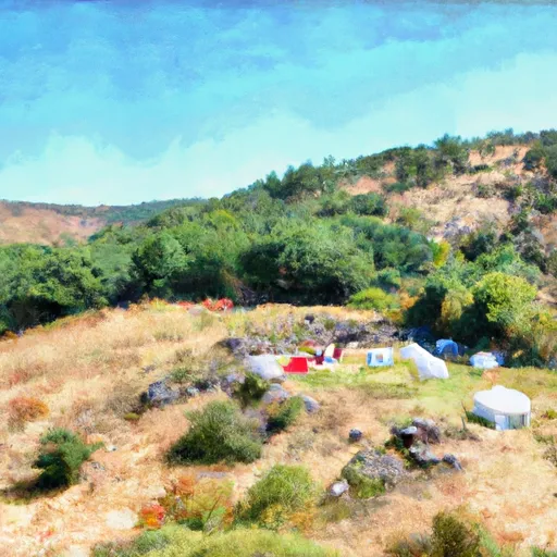
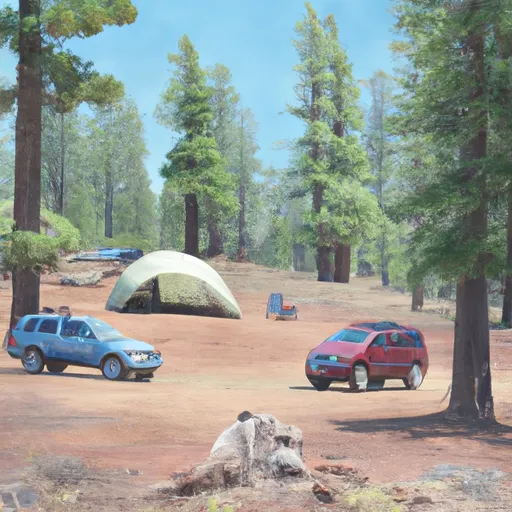
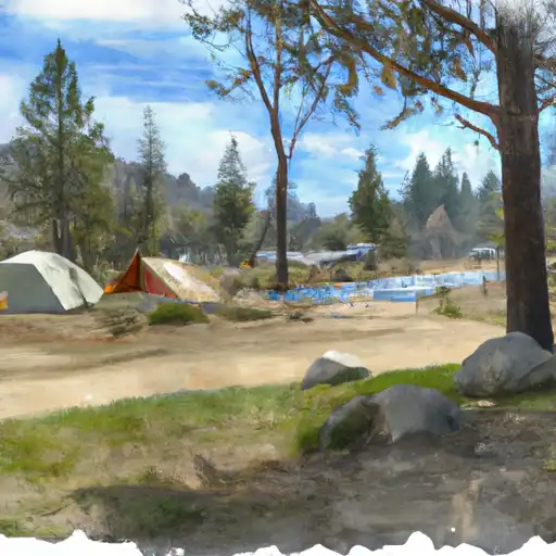
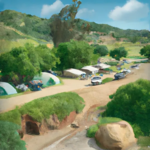
Area Campgrounds
| Location | Reservations | Toilets |
|---|---|---|
 Low Gap Campsite
|
||
 Ripstein
|
||
 Ripstein Campground
|
||
 Big Flat Campground (Klamath NF)
|
||
 Bridge Camp
|
||
 Bridge Camp Campground
|
