Summary
Rising to an elevation of approximately 8,846 feet (2,696 meters), it offers breathtaking panoramic views of the surrounding San Jacinto Mountains. This granite peak is a popular destination for mountaineers, hikers, and rock climbers, thanks to its challenging terrain and stunning vistas.
During the winter season, Tahquitz Peak experiences varying levels of snowpack depending on the overall snowfall in the region. Snow depths can range from a few inches to several feet, creating an ideal environment for winter sports enthusiasts. It is advisable to check local weather and snowpack conditions before venturing into the area to ensure safety.
Tahquitz Peak is known for its numerous creeks and rivers that are fed by the mountain's runoff. These water sources, such as Tahquitz Creek and Strawberry Creek, provide fresh water for wildlife and contribute to the region's delicate ecosystem. Exploring these waterways can be an enjoyable activity for visitors looking to connect with nature.
The name "Tahquitz" originates from Cahuilla Native American folklore. According to legend, Tahquitz was a powerful and malevolent spirit who inhabited the San Jacinto Mountains. It is said that he caused thunderstorms, avalanches, and other natural disasters. Today, the name is associated with the peak as a homage to the rich cultural history of the area.
In conclusion, Tahquitz Peak offers a thrilling mountaineering experience with its challenging terrain and stunning views. From its impressive elevation to the varying snowpack levels during winter, this peak attracts outdoor enthusiasts seeking adventure and natural beauty. The presence of creeks and rivers fed by mountain runoff adds to its allure. Furthermore, the name "Tahquitz" carries with it a captivating legend that adds depth and intrigue to the mountain's history.
°F
°F
mph
Wind
%
Humidity
15-Day Weather Outlook
5-Day Hourly Forecast Detail
Regional Streamflow Levels
0
Cubic Feet Per Second
81
Cubic Feet Per Second
101
Cubic Feet Per Second
159
Cubic Feet Per Second
Area Campgrounds
| Location | Reservations | Toilets |
|---|---|---|
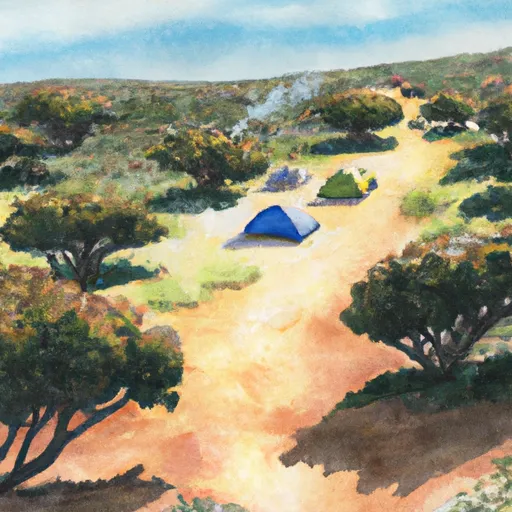 South Ridge Yellow Post
|
||
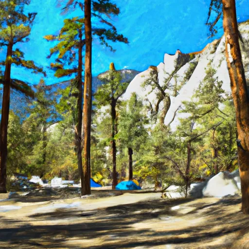 Idyllwild - Mount San Jacinto State Park
|
||
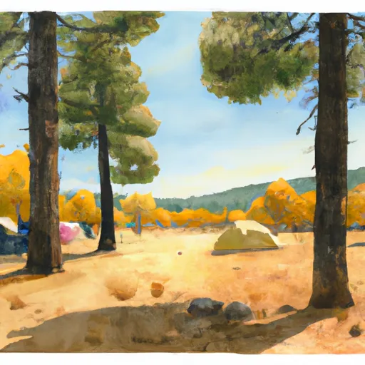 Laws Camp
|
||
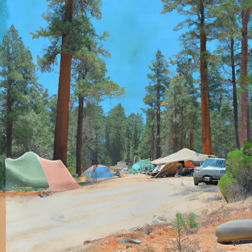 Strawberry Junction
|
||
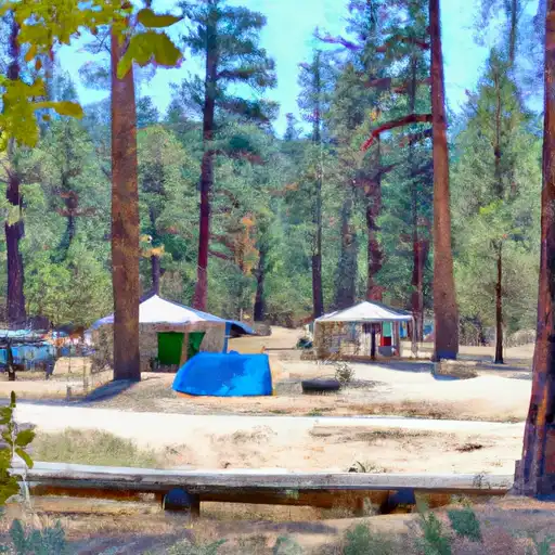 Idyllwild County Park
|
||
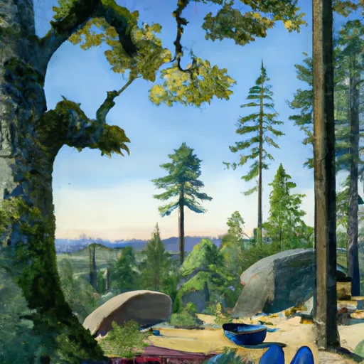 Upper Chinquapin
|

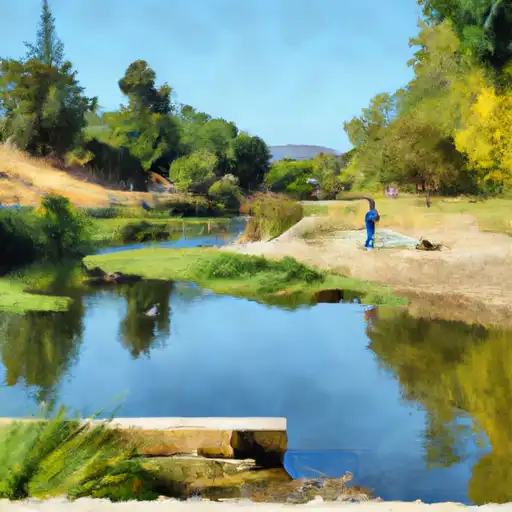 Fuller Mill Creek
 Strawberry Creek
 Lake Hemet Day Use Area
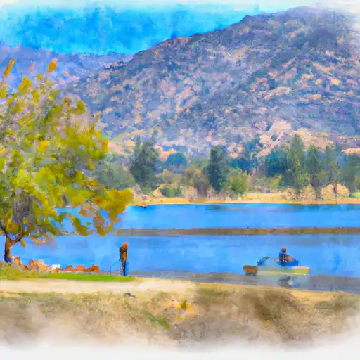 Lake Hemet
 Lake Fulmor Day Use Area