Summary
With its impressive elevation and size, it offers a thrilling experience for climbers and hikers alike. Rising to an elevation of over 7,600 feet, Brundage Mountain provides breathtaking panoramic views of the surrounding landscapes.
During the winter season, Brundage Mountain boasts a substantial snowpack range, making it a haven for winter sports enthusiasts. The mountain receives an average snowfall of around 320 inches, ensuring excellent skiing and snowboarding conditions. Its vast terrain, covering over 1,920 acres, offers a diverse range of slopes suitable for all skill levels.
Several creeks and rivers receive runoff from Brundage Mountain, contributing to the area's water resources. These waterways, such as the East Fork of the South Fork Salmon River and the West Fork of the Payette River, not only enhance the scenic beauty of the region but also provide opportunities for various water-based recreational activities.
The name "Brundage" is steeped in history, originating from John Brundage, a trapper who frequented the area in the 1800s. While there may not be specific legends or lore associated with Brundage Mountain itself, the region is rich in Native American history and stories. Exploring the local culture and heritage can add depth and fascination to any visit to this majestic mountain.
°F
°F
mph
Wind
%
Humidity
15-Day Weather Outlook
5-Day Hourly Forecast Detail
Regional Streamflow Levels
364
Cubic Feet Per Second
150
Cubic Feet Per Second
19,200
Cubic Feet Per Second
33
Cubic Feet Per Second
Area Campgrounds
| Location | Reservations | Toilets |
|---|---|---|
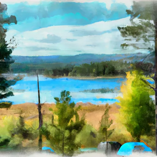 Brundage Reservoir Camping Area
|
||
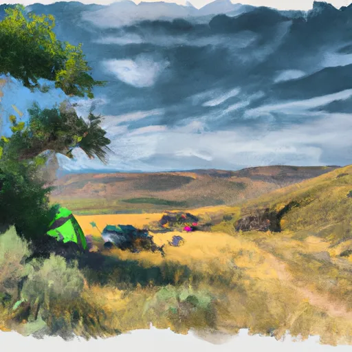 Last Chance
|
||
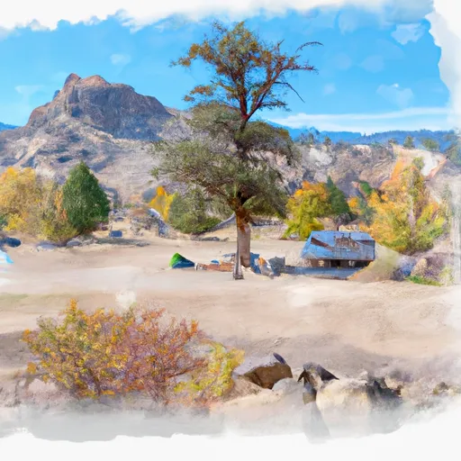 Last Chance Campground
|
||
 Grouse
|
||
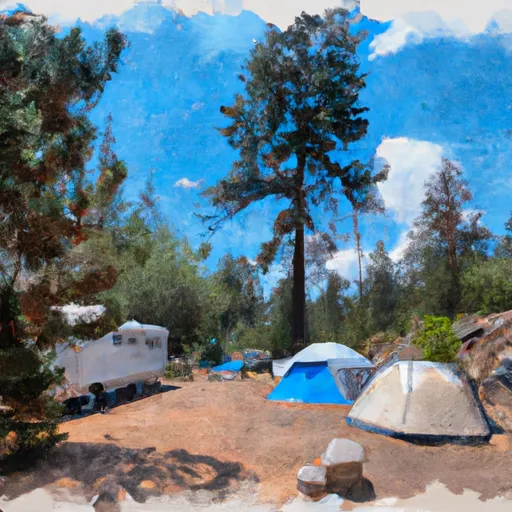 Grouse Campground
|
||
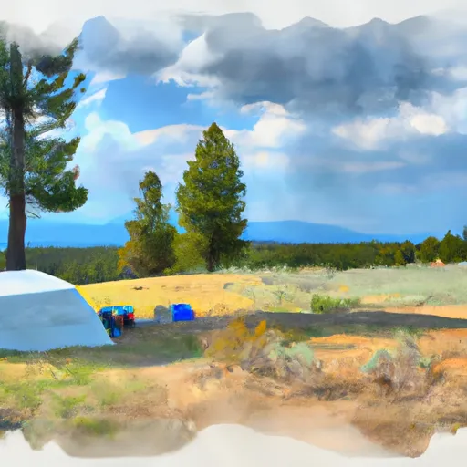 Goose Lake Camping Area
|
