Summary
Rising to an elevation of approximately 13,855 feet (4225 meters), it offers stunning panoramic views of the surrounding peaks and valleys. With a prominent prominence of 1055 feet (322 meters), it stands out as a notable landmark in the region.
During the winter season, California Peak experiences a substantial snowpack. Snow depths can vary depending on the year, but typically range from 6 to 12 feet (1.8 to 3.7 meters). The snowpack on the mountain contributes to the runoff that feeds into nearby creeks and rivers, including the Huerfano River and the Apishapa River. These water sources provide essential resources to the surrounding ecosystems and contribute to the overall health of the region.
The name "California Peak" is said to have been derived from the California Gulch, which is located near the mountain. The gulch was named during the California Gold Rush when prospectors from California traveled to the area in search of gold. However, there are no specific legends or lore associated with California Peak itself. It is important to verify this information across multiple independent sources to ensure accuracy. California Peak offers a challenging and rewarding mountaineering experience, attracting outdoor enthusiasts from around the world.
°F
°F
mph
Wind
%
Humidity
15-Day Weather Outlook
5-Day Hourly Forecast Detail
Regional Streamflow Levels
-999
Cubic Feet Per Second
263
Cubic Feet Per Second
13
Cubic Feet Per Second
92
Cubic Feet Per Second
Area Campgrounds
| Location | Reservations | Toilets |
|---|---|---|
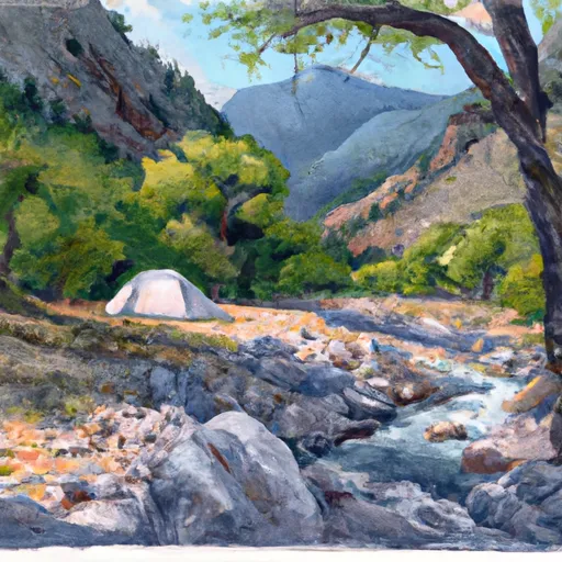 Zapata Falls Site 19
|
||
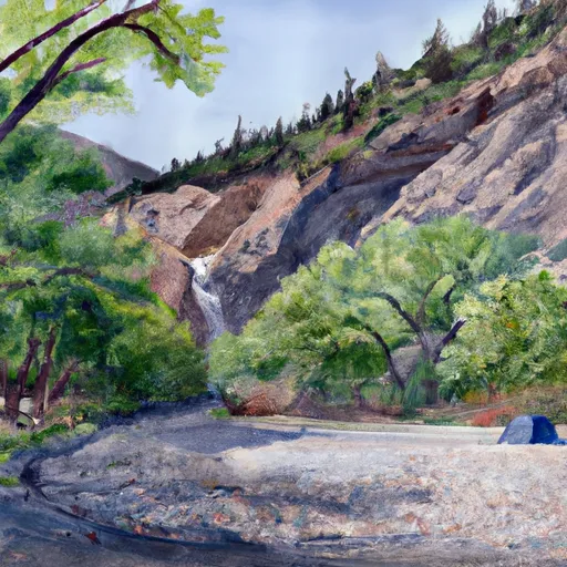 Zapata Falls Site 20
|
||
 Zapata Falls Site 18
|
||
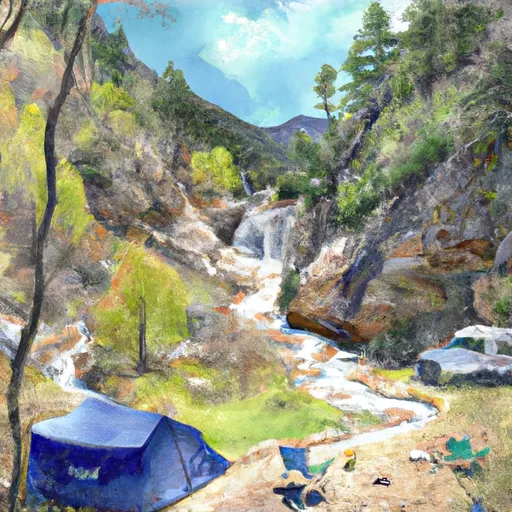 Zapata Falls Site 21
|
||
 Zapata Falls Site 16
|
||
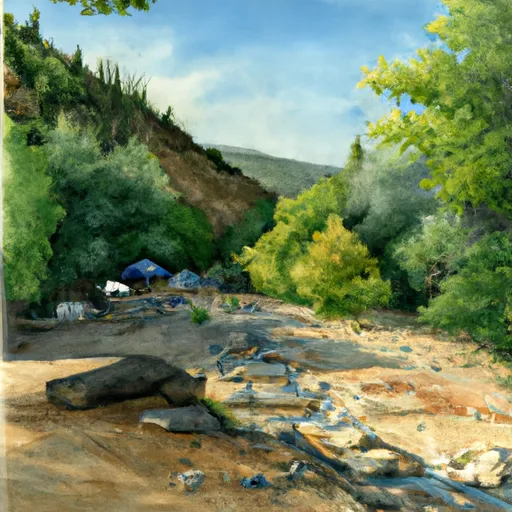 Zapata Falls Site 22
|
