Summary
With an elevation of approximately 14,081 feet, it is a popular destination for mountaineers seeking a challenging expedition. The mountain is known for its rugged and steep terrain, providing a thrilling experience for climbers.
During the winter season, Challenger Point experiences varying snowpack levels. Snow accumulation on the mountain can range from moderate to heavy, creating ideal conditions for winter sports enthusiasts. The surrounding region offers opportunities for snowshoeing, skiing, and snowboarding.
Additionally, Challenger Point contributes to the water sources in the area as it serves as a source of runoff for several creeks and rivers. These waterways benefit from the melting snow during the spring and summer months, providing a vital water supply for surrounding ecosystems.
The name "Challenger" was given to the peak in 1911 by the Hayden Survey, in honor of the tragic loss of the crew of the space shuttle Challenger in 1986. The mountain has an interesting lore surrounding it, with tales of early explorers and their encounters with challenging weather conditions and treacherous terrain. It is advisable for mountaineers to thoroughly prepare and possess advanced climbing skills before attempting to summit Challenger Point due to its technical nature.
°F
°F
mph
Wind
%
Humidity

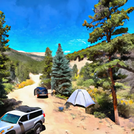 Burnt Gulch Trail 4WD Parking & Camp
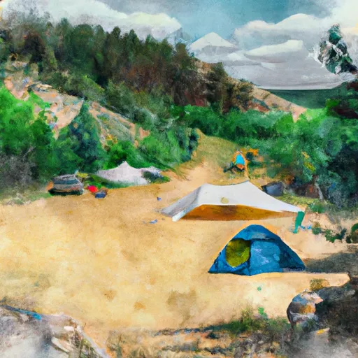 Burnt Gulch Trail Camp
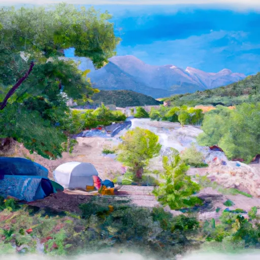 North Crestone Creek Campground
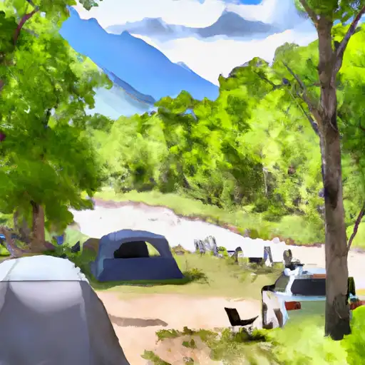 North Crestone Creek
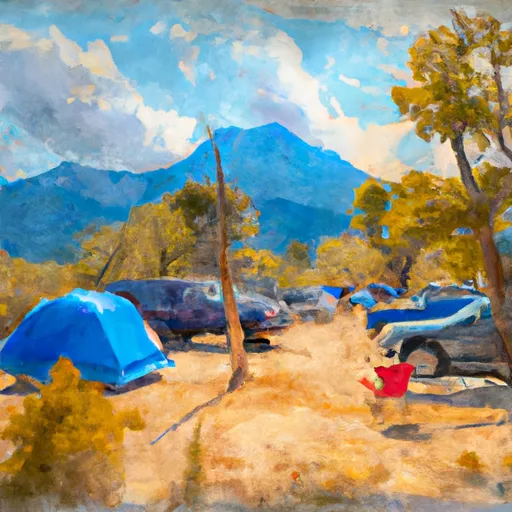 North Crestone Campground
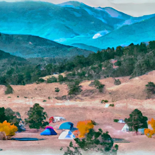 Alvarado