2026-02-24T17:00:00-07:00
* WHAT...West winds 35 to 50 mph with gusts up to 80 mph possible. * WHERE...The Northern Front Range Foothills, the Mosquito Range, and the Front Range Mountains including, Rocky Mountain National Park and the Indian Peaks. * WHEN...From Tuesday morning through late Tuesday afternoon. * IMPACTS...Gusty winds will blow around unsecured objects and a few power outages may result. Travel could be difficult, especially for high profile vehicles.
Summary
With an elevation of 12,951 feet (3,947 meters), it is one of the tallest peaks in the region. This majestic mountain offers breathtaking panoramic views of the surrounding landscapes.
During the winter season, Clark Peak experiences a diverse snowpack range. Snowfall in the Rocky Mountains can vary greatly, but typically the peak receives heavy snowfall, creating ideal conditions for winter sports enthusiasts. The snowpack can range from several feet to several meters, providing ample opportunities for skiing, snowboarding, and snowshoeing.
Several creeks and rivers receive runoff from Clark Peak, contributing to the water sources in the area. These include the Cache la Poudre River, North Fork Canadian River, and the Upper Laramie River. These waterways are essential for the local ecosystem and provide valuable recreational activities such as fishing and rafting.
The name "Clark Peak" is attributed to William A. Clark, a prominent American copper magnate and politician in the late 19th and early 20th centuries. Clark had extensive mining interests in Colorado and the surrounding regions. Although there are no specific legends or lore associated with Clark Peak, the mountain's name reflects the historical significance and influence of individuals like William A. Clark in the development of the region.
In conclusion, Clark Peak is a formidable mountain within the Rocky Mountains mountain range, boasting an impressive elevation and diverse snowpack range during the winter season. Its runoff contributes to several creeks and rivers in the area, offering recreational opportunities and supporting the local ecosystem. The name of the mountain pays homage to William A. Clark's contributions to the region's mining industry.
°F
°F
mph
Wind
%
Humidity

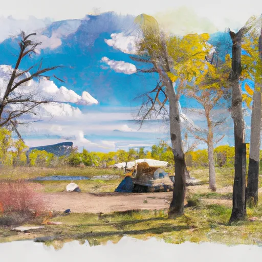 Bockman - State Forest State Park
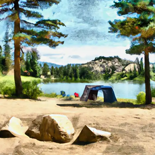 Chambers Lake
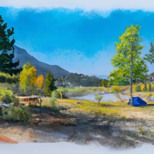 Chambers Lake Campground
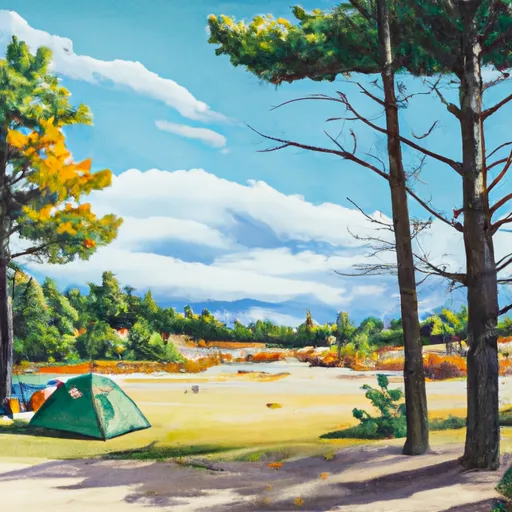 North Michigan - State Forest State Park
 Aspen Glen
 Aspen Glen Campground
 Lost Lake (Cameron Pass)
 Joe Wright Fishing Site
 Joe Wright Reservoir
 Laramie Lake
 Barnes Meadow Reservoir