Summary
Rising to an elevation of 12,835 feet (3,912 meters), it offers an exhilarating challenge for mountaineers and hikers alike. With its stunning vistas and diverse terrain, Jicarita Peak attracts outdoor enthusiasts from across the region.
During the winter season, Jicarita Peak receives a substantial snowpack that varies in depth depending on weather conditions. The snowpack can range from several feet to over 10 feet, creating ideal conditions for winter sports such as skiing and snowshoeing. As the temperatures rise in spring, the snowpack gradually melts, feeding into numerous creeks and rivers in the vicinity, including the Rio Pueblo de Taos and Rio Santa Barbara. These water sources provide valuable runoff, contributing to the region's ecosystem and supporting various wildlife.
The name "Jicarita" derives from the Spanish word "jícara," meaning small cup or bowl, possibly referring to the shape of the peak or a nearby feature. Jicarita Peak holds significance in the mythology and legends of the indigenous peoples of the region, with tales of mystical creatures and spiritual encounters. These stories add to the allure and intrigue surrounding the mountain, making it a captivating destination for adventurers seeking both natural beauty and cultural richness.
Sources:
- United States Geological Survey (USGS)
- National Park Service (NPS)
- New Mexico Tourism Department
°F
°F
mph
Wind
%
Humidity
15-Day Weather Outlook
5-Day Hourly Forecast Detail
Regional Streamflow Levels
-999
Cubic Feet Per Second
1
Cubic Feet Per Second
6
Cubic Feet Per Second
92
Cubic Feet Per Second
Area Campgrounds
| Location | Reservations | Toilets |
|---|---|---|
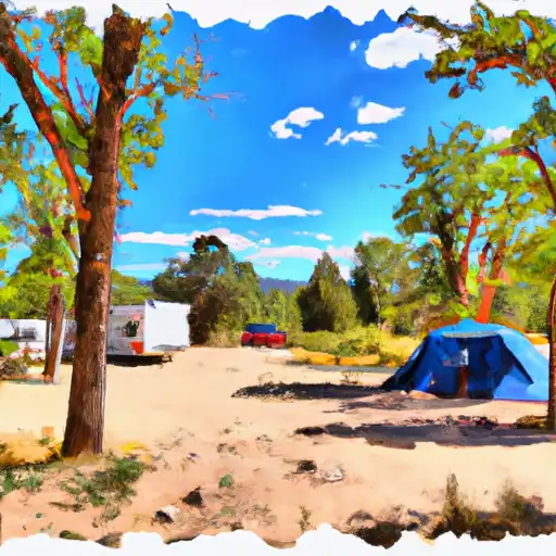 Santa Barbara
|
||
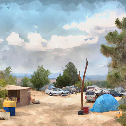 Santa Barbara Campground
|
||
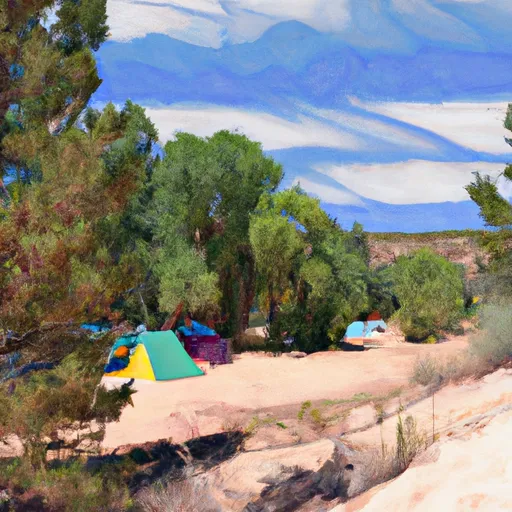 Agua Piedra
|
||
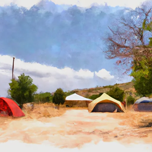 Agua Piedra Campground
|
||
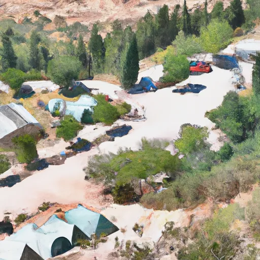 Agua Piedra Campground and Group Shelters
|
||
 Hodges
|
