Summary
With an elevation of approximately 14,165 feet, it offers a challenging and rewarding climb for experienced mountaineers. The mountain is named after Kit Carson, a legendary frontiersman and explorer who played a significant role in the early settlement of the American West.
As for its size, Kit Carson Mountain covers a vast area, with its summit providing sweeping views of the surrounding peaks and valleys. It is often climbed in conjunction with its neighboring peak, Challenger Point, creating a popular loop for climbers. The mountain is known for its rugged terrain, including steep slopes and rocky ridges, which require technical climbing skills.
During the winter season, Kit Carson Mountain experiences a significant snowpack. The snowpack range varies depending on the year and weather conditions, but it typically accumulates from December through April. This makes winter ascents more challenging and requires mountaineers to possess appropriate gear and avalanche safety knowledge.
Kit Carson Mountain is also known for its influence on local waterways. It contributes to the runoff of several creeks and rivers in the region, including Willow Creek and the North Fork of the South Arkansas River. These waterways are essential for the local ecosystem, providing habitat for various wildlife species and supporting recreational activities such as fishing and rafting.
In conclusion, Kit Carson Mountain is a prominent peak in the Rocky Mountains, offering a challenging climb with its rugged terrain and high elevation. With its deep snowpack during winter, it requires careful planning and mountaineering skills. The mountain's historical name and association with Kit Carson add to its allure, making it an enticing destination for outdoor enthusiasts seeking adventure in the Rocky Mountains.
°F
°F
mph
Wind
%
Humidity

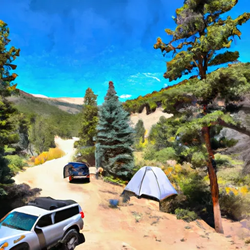 Burnt Gulch Trail 4WD Parking & Camp
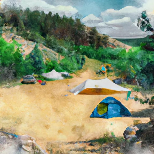 Burnt Gulch Trail Camp
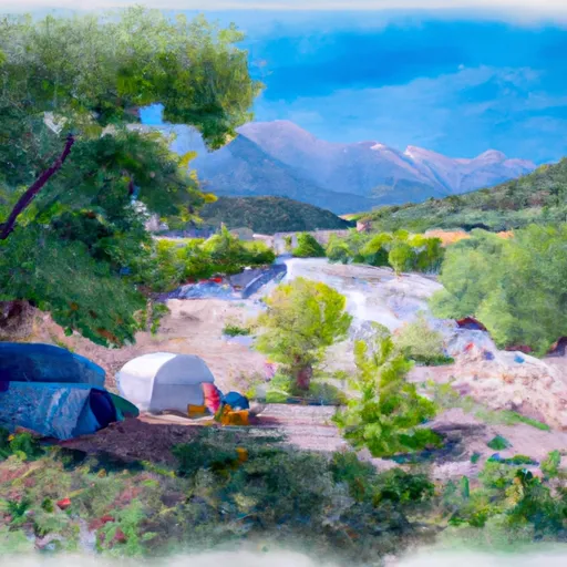 North Crestone Creek Campground
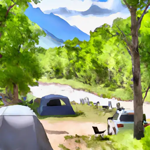 North Crestone Creek
 North Crestone Campground
 Alvarado