Summary
It is situated in the Latir Wilderness within Carson National Forest, New Mexico. Latir Peak boasts stunning panoramic views, making it a popular destination for mountaineers and outdoor enthusiasts.
During the winter season, Latir Peak experiences a significant amount of snowfall, creating an ideal environment for winter sports such as skiing and snowboarding. The snowpack range varies depending on the year, with depths ranging from several feet to over ten feet. These conditions make it a challenging but exhilarating expedition for experienced mountaineers.
The mountain feeds several creeks and rivers, including the Rio Hondo and Rio Grande. These waterways benefit from the mountain's snowpack runoff, providing a crucial source of freshwater for the surrounding ecosystems and communities.
The name "Latir" is derived from the Spanish word for "to beat," which is thought to reference the rhythmic sound produced by the wind as it blows through the mountain's canyons. Additionally, legends suggest that Latir Peak holds sacred significance to the Native American tribes in the area, who believed it to be a place of spiritual power. Exploring the lore and history of Latir Peak can add an element of enchantment to any mountaineering experience in this breathtaking part of the Rocky Mountains.
°F
°F
mph
Wind
%
Humidity
15-Day Weather Outlook
5-Day Hourly Forecast Detail
Regional Streamflow Levels
13
Cubic Feet Per Second
12
Cubic Feet Per Second
-999
Cubic Feet Per Second
92
Cubic Feet Per Second
Area Campgrounds
| Location | Reservations | Toilets |
|---|---|---|
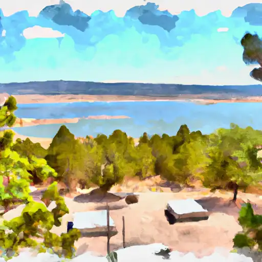 Cabresto Lake
|
||
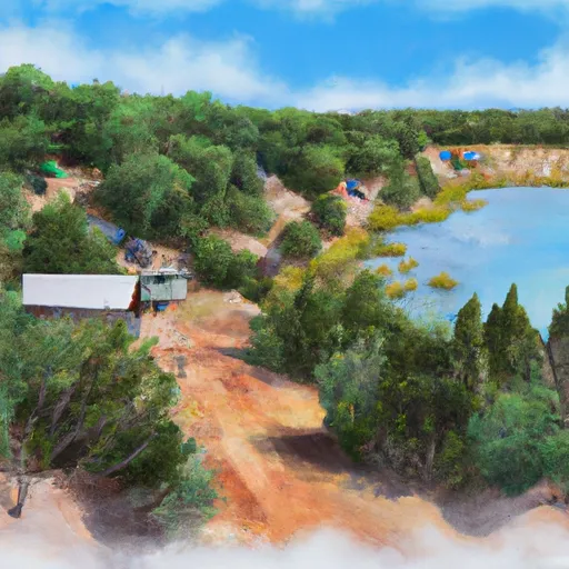 Cabresto Lake Campground
|
||
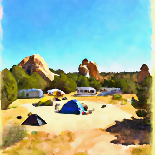 Elephant Rock
|
||
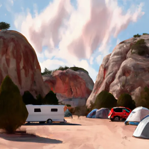 Elephant Rock Campground
|
||
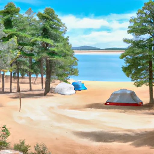 Fawn Lakes Campground
|
||
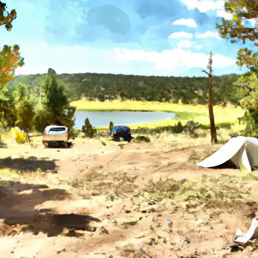 Fawn Lakes
|
