Summary
With an elevation of 14,037 feet (4,278 meters), it is a sought-after peak for mountaineers and adventure enthusiasts. The mountain's rugged terrain and technical climbing routes make it a popular destination for experienced climbers.
During the winter season, Little Bear Peak receives a substantial snowpack, which adds to the difficulty of climbing. The snowpack range varies year to year but can reach depths of several feet, making proper equipment and avalanche awareness essential for those attempting to summit.
Several creeks and rivers benefit from the snowmelt and runoff that originates from Little Bear Peak. These include the South Fork of the Rio Grande, Huerfano River, and Sand Creek. Their water sources are vital for nearby ecosystems and provide opportunities for various recreational activities such as fishing and whitewater rafting.
Regarding its name, Little Bear Peak is said to have derived its title from the prominent rock formation at its summit, which resembles the shape of a bear. The mountain is also associated with several legends and lore. One popular story recounts a mythical creature known as the "Little Bear" that is said to inhabit the area surrounding the peak. While these tales may add to the intrigue of Little Bear Peak, it is always important to rely on verified information from multiple independent sources when planning a climbing expedition.
°F
°F
mph
Wind
%
Humidity
15-Day Weather Outlook
5-Day Hourly Forecast Detail
Regional Streamflow Levels
13
Cubic Feet Per Second
263
Cubic Feet Per Second
0
Cubic Feet Per Second
92
Cubic Feet Per Second
Area Campgrounds
| Location | Reservations | Toilets |
|---|---|---|
 Zapata Falls Site 18
|
||
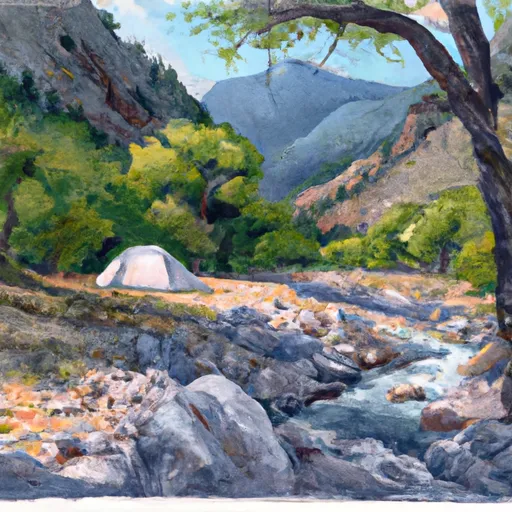 Zapata Falls Site 19
|
||
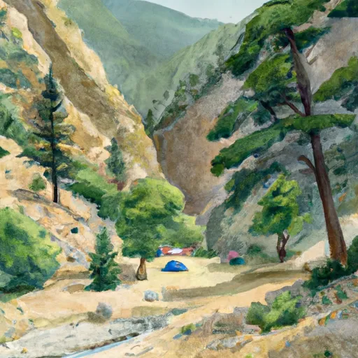 Zapata Falls Site 17
|
||
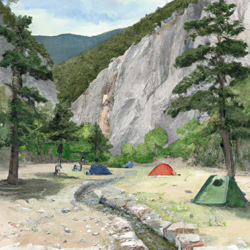 Zapata Falls Site 11
|
||
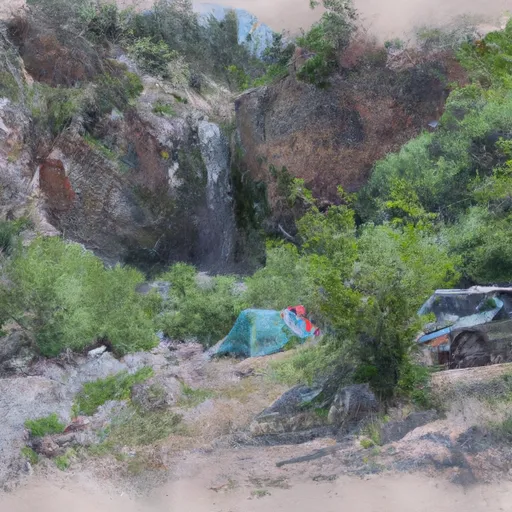 Zapata Falls Site 12
|
||
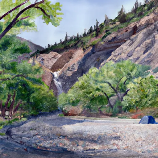 Zapata Falls Site 20
|
