Summary
With an impressive elevation of [elevation] feet, it stands tall among its neighboring peaks. This majestic mountain offers breathtaking panoramic views of the surrounding landscape and is a favorite destination for outdoor enthusiasts.
During the winter season, Mount Baldy experiences a diverse snowpack range, making it a hot spot for winter sports enthusiasts. From November to April, the mountain receives an average snowfall of [snowfall range] inches, providing excellent opportunities for skiing, snowboarding, and snowshoeing. The powder conditions attract both locals and adventurers from afar, making it a popular winter destination.
Situated in the heart of the Rockies, Mount Baldy serves as a significant source of runoff for several creeks and rivers in the region. The melting snow during the spring and summer months feeds into [specific creeks/rivers], contributing to their flow and making them ideal for fishing, rafting, and other water activities.
The name "Mount Baldy" is believed to have originated from the lack of vegetation at the peak, which gives it a bald appearance. However, the mountain holds various legends and lore that add to its allure. [Include any interesting legends or stories associated with Mount Baldy].
In conclusion, Mount Baldy in the Rocky Mountains offers a thrilling mountaineering experience with its impressive elevation, diverse snowpack range in winter, and contribution to local waterways. Whether you are seeking adventure or simply wish to immerse yourself in the breathtaking scenery, Mount Baldy is a destination that should not be missed.
°F
°F
mph
Wind
%
Humidity
15-Day Weather Outlook
5-Day Hourly Forecast Detail
Regional Streamflow Levels
0
Cubic Feet Per Second
2
Cubic Feet Per Second
13
Cubic Feet Per Second
3
Cubic Feet Per Second
Area Campgrounds
| Location | Reservations | Toilets |
|---|---|---|
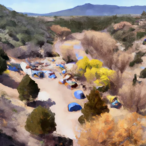 Copper Park Camp
|
||
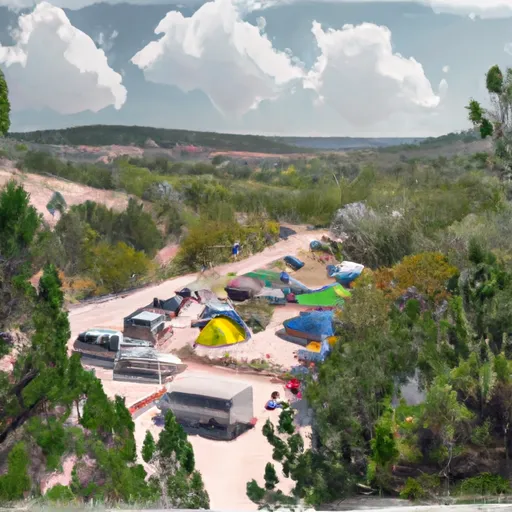 Baldy Town Camp
|
||
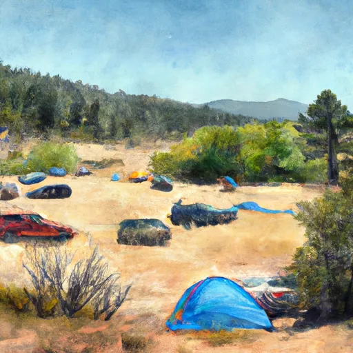 French Henry Camp
|
||
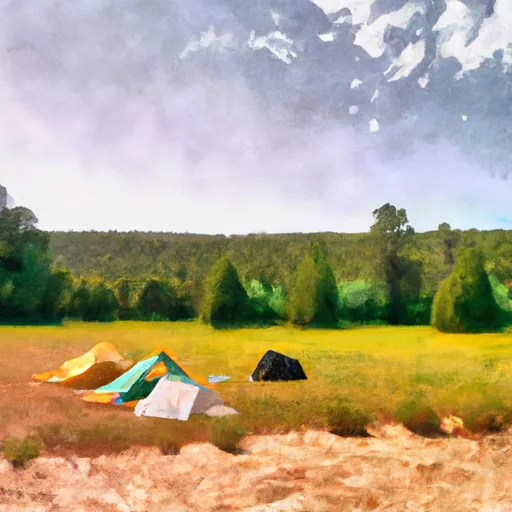 Black Horse Camp
|
||
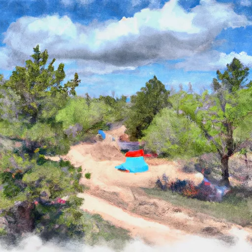 Ute Meadows Camp
|
||
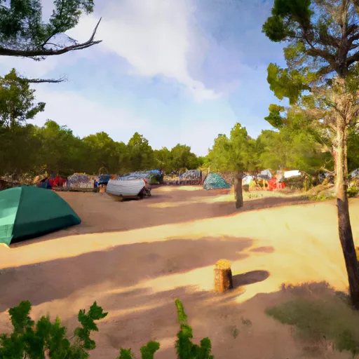 Ewells Park Camp
|
